Area Overview for LN5 7ET
Photos of LN5 7ET
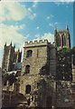
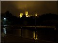

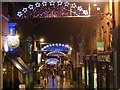
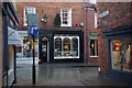

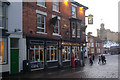


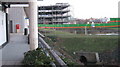
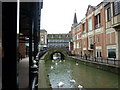
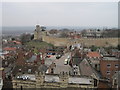
100 photos from this area
Area Information
Key information about the LN5 7ET including its size, population, and administrative classification.
- Area Type
- Postcode
- Area Size
- 1.8 hectares
- Population
- 2114
- Population Density
- 961 people/km²
House Prices in LN5 7ET
60
Properties
-
Average Sold Price
-
Lowest Price
-
Highest Price
Showing 60 properties
| Address | Type | Beds | Baths | Last Sale Price | Last Sale Date | |
|---|---|---|---|---|---|---|
| Domestic Appliance Services, 16 Sincil Street, Lincoln, LN5 7ET | retail_financial | - | - | - | - | |
| 17A Sincil Street, Lincoln, LN5 7ET | Flat | - | - | - | - | |
| City Snax, Unit 1, City Square Centre, Sincil Street, Lincoln, LN5 7ET | Restaurant | - | - | - | - | |
| Double M, Unit 3, City Square Centre, Sincil Street, Lincoln, LN5 7ET | restaurant_cafe | - | - | - | - | |
| Boyes, City Square Centre, Sincil Street, Lincoln, LN5 7ET | shop | - | - | - | - | |
| Unit 6, City Square Centre, Sincil Street, Lincoln, LN5 7ET | shop | - | - | - | - | |
| The Fone Doctor, Unit 5, City Square Centre, Sincil Street, Lincoln, LN5 7ET | retail_financial | - | - | - | - | |
| 3, Newmarket Buildings, Sincil Street, Lincoln, LN5 7ET | shop | - | - | - | - | |
| 2, Newmarket Buildings, Sincil Street, Lincoln, LN5 7ET | shop | - | - | - | - | |
| Legz & Co, Unit 2, City Square Centre, Sincil Street, Lincoln, LN5 7ET | shop | - | - | - | - |
Page 1 of 6
Energy Efficiency in LN5 7ET
Amenities
Schools
| Rank | School | Type | Entry gender | Ages |
|---|
Explore more schools in this area
Go to Schools tabDemographics
Household Size
One person
most common
Accommodation Type
Flats
most common
Tenure
14
majority
Ethnic Group
White
most common
Religion
N/A
most common
Household Composition
N/A
most common
Age
22
median
Adults (30-64 years)
most common
Household Deprivation
N/A
with no deprivation
NS-SEC
10
in Lower managerial occupations
Explore more demographic insights in this area
Go to Demographics tabPlanning
Planning Constraints
- Flood RiskPremium
- Ramsar Wetland SitesPremium
- Area of Outstanding Natural BeautyPremium
- Protected Nature ReservePremium
- Protected WoodlandPremium