Area Overview for LN3 5BH
Photos of LN3 5BH
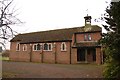
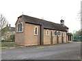
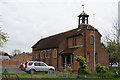
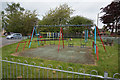
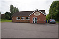
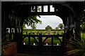
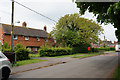
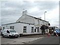
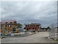
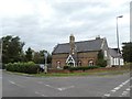
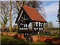
35 photos from this area
Area Information
Key information about the LN3 5BH including its size, population, and administrative classification.
- Area Type
- Postcode
- Area Size
- 15.5 hectares
- Population
- 1523
- Population Density
- 129 people/km²
House Prices in LN3 5BH
17
Properties
£188,500
Average Sold Price
£52,000
Lowest Price
£257,000
Highest Price
Showing 17 properties
| Address | Type | Beds | Baths | Last Sale Price | Last Sale Date | |
|---|---|---|---|---|---|---|
| Chiltern, Scothern Lane, Langworth, Lincoln, LN3 5BH | Detached | 4 | 2 | £200,000 | Apr 2025 | |
| 10 Scothern Lane, Langworth, Lincoln, LN3 5BH | Detached | 3 | 1 | £245,000 | Feb 2021 | |
| Bramble Cottage, Scothern Lane, Langworth, Lincoln, LN3 5BH | Detached | - | - | £257,000 | Oct 2020 | |
| The Chapel, Scothern Lane, Langworth, Lincoln, LN3 5BH | Detached | - | - | £52,000 | Nov 2000 | |
| 12 Scothern Lane, Langworth, Lincoln, LN3 5BH | Bungalow | 5 | 2 | - | - | |
| Caravan, Blackthorn House, Scothern Lane, Langworth, Lincoln, LN3 5BH | Office | - | - | - | - | |
| Caravan, Lindum Wold, 6 Scothern Lane, Langworth, Lincoln, LN3 5BH | Mobile Home | - | - | - | - | |
| Langworth Resources Ltd, Bridge House, Scothern Lane, Langworth, Lincoln, LN3 5BH | office_workshop | - | - | - | - | |
| Brookside, Scothern Lane, Langworth, Lincoln, LN3 5BH | Detached | - | - | - | - | |
| The Caravan Adjacent To 10, 10 Scothern Lane, Langworth, Lincoln, LN3 5BH | Mobile Home | - | - | - | - |
Page 1 of 2
Energy Efficiency in LN3 5BH
Amenities
Schools
| Rank | School | Type | Entry gender | Ages |
|---|
Explore more schools in this area
Go to Schools tabDemographics
Household Size
Two person
most common
Accommodation Type
Houses
most common
Tenure
84
majority
Ethnic Group
White
most common
Religion
N/A
most common
Household Composition
N/A
most common
Age
47
median
Adults (30-64 years)
most common
Household Deprivation
N/A
with no deprivation
NS-SEC
46
in Lower managerial occupations
Explore more demographic insights in this area
Go to Demographics tabPlanning
Planning Constraints
- Flood RiskPremium
- Ramsar Wetland SitesPremium
- Area of Outstanding Natural BeautyPremium
- Protected Nature ReservePremium
- Protected WoodlandPremium