Area Overview for LN12 2LL
Photos of LN12 2LL
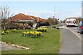

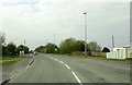
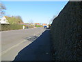
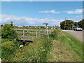
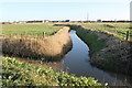
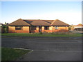
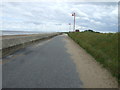
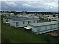

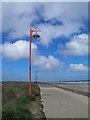
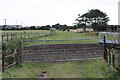
16 photos from this area
Area Information
Key information about the LN12 2LL including its size, population, and administrative classification.
- Area Type
- Postcode
- Area Size
- 1.0 hectares
- Population
- 2069
- Population Density
- 253 people/km²
House Prices in LN12 2LL
10
Properties
£126,188
Average Sold Price
£45,000
Lowest Price
£235,000
Highest Price
Showing 10 properties
| Address | Type | Beds | Baths | Last Sale Price | Last Sale Date | |
|---|---|---|---|---|---|---|
| Quintey, Trusthorpe Road, Sutton On Sea, LN12 2LL | Semi-detached | 4 | 2 | £185,000 | Jul 2023 | |
| Tykes, Trusthorpe Road, Sutton On Sea, LN12 2LL | Bungalow | 3 | 1 | £235,000 | Jul 2019 | |
| Emmanuel, Trusthorpe Road, Sutton On Sea, LN12 2LL | house | - | - | £136,500 | Jul 2013 | |
| Saxby, Trusthorpe Road, Sutton On Sea, LN12 2LL | Semi-detached | 6 | 3 | £142,000 | May 2013 | |
| Conway, Trusthorpe Road, Sutton On Sea, LN12 2LL | house | - | - | £145,000 | Sep 2007 | |
| Park Lodge, Trusthorpe Road, Sutton On Sea, LN12 2LL | Bungalow | 3 | 1 | £71,000 | Mar 2000 | |
| Beachway, Trusthorpe Road, Sutton On Sea, LN12 2LL | Semi-detached | - | - | £50,000 | Jun 1999 | |
| Howard House, Trusthorpe Road, Sutton On Sea, LN12 2LL | Semi-detached | - | - | £45,000 | Mar 1999 | |
| Holmfirth, Trusthorpe Road, Sutton On Sea, LN12 2LL | Retirement | - | - | - | - | |
| Barachel, Trusthorpe Road, Sutton On Sea, LN12 2LL | Detached | - | - | - | - |
Energy Efficiency in LN12 2LL
Amenities
Schools
| Rank | School | Type | Entry gender | Ages |
|---|
Explore more schools in this area
Go to Schools tabDemographics
Household Size
Two person
most common
Accommodation Type
Houses
most common
Tenure
77
majority
Ethnic Group
White
most common
Religion
N/A
most common
Household Composition
N/A
most common
Age
47
median
Elderly (65+ years)
most common
Household Deprivation
N/A
with no deprivation
NS-SEC
17
in Lower managerial occupations
Explore more demographic insights in this area
Go to Demographics tabPlanning
Planning Constraints
- Flood RiskPremium
- Ramsar Wetland SitesPremium
- Area of Outstanding Natural BeautyPremium
- Protected Nature ReservePremium
- Protected WoodlandPremium