Area Overview for LN12 2HH
Photos of LN12 2HH
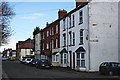
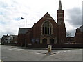
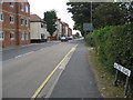

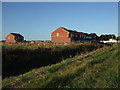
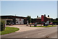
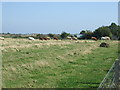
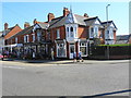
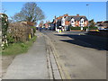
29 photos from this area
Area Information
Key information about the LN12 2HH including its size, population, and administrative classification.
- Area Type
- Postcode
- Area Size
- 2.9 hectares
- Population
- 2019
- Population Density
- 734 people/km²
House Prices in LN12 2HH
32
Properties
£176,829
Average Sold Price
£80,000
Lowest Price
£350,000
Highest Price
Showing 32 properties
| Address | Type | Beds | Baths | Last Sale Price | Last Sale Date | |
|---|---|---|---|---|---|---|
| 8 Alford Road, Sutton On Sea, LN12 2HH | house | - | - | £245,000 | Jun 2021 | |
| 10 Alford Road, Sutton On Sea, LN12 2HH | Semi-detached | 3 | 2 | £140,000 | Jun 2021 | |
| 40 Alford Road, Sutton On Sea, LN12 2HH | house | - | - | £252,777 | Mar 2019 | |
| 18 Alford Road, Sutton On Sea, LN12 2HH | house | - | - | £225,000 | Nov 2018 | |
| 32 Alford Road, Sutton On Sea, LN12 2HH | Detached | 3 | 2 | £350,000 | Mar 2018 | |
| 20 Alford Road, Sutton On Sea, LN12 2HH | Bungalow | - | - | £215,000 | Oct 2014 | |
| 4 Alford Road, Sutton On Sea, LN12 2HH | Detached | - | - | £155,000 | Dec 2007 | |
| Corncroft, 30A Alford Road, Sutton On Sea, LN12 2HH | Detached | - | - | £155,000 | Nov 2006 | |
| 22 Alford Road, Sutton On Sea, LN12 2HH | Bungalow | - | - | £135,000 | Jun 2004 | |
| 30 Alford Road, Sutton On Sea, LN12 2HH | Detached | - | - | £139,000 | Aug 2003 |
Page 1 of 4
Energy Efficiency in LN12 2HH
Amenities
Schools
| Rank | School | Type | Entry gender | Ages |
|---|
Explore more schools in this area
Go to Schools tabDemographics
Household Size
Two person
most common
Accommodation Type
Houses
most common
Tenure
72
majority
Ethnic Group
White
most common
Religion
N/A
most common
Household Composition
N/A
most common
Age
70
median
Elderly (65+ years)
most common
Household Deprivation
N/A
with no deprivation
NS-SEC
20
in Lower managerial occupations
Explore more demographic insights in this area
Go to Demographics tabPlanning
Planning Constraints
- Flood RiskPremium
- Ramsar Wetland SitesPremium
- Area of Outstanding Natural BeautyPremium
- Protected Nature ReservePremium
- Protected WoodlandPremium