Area Overview for LN12 2EY
Photos of LN12 2EY
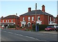

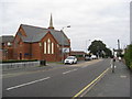
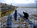
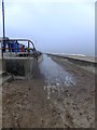
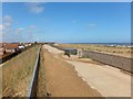
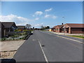
100 photos from this area
Area Information
Key information about the LN12 2EY including its size, population, and administrative classification.
- Area Type
- Postcode
- Area Size
- 1.0 hectares
- Population
- 2019
- Population Density
- 734 people/km²
House Prices in LN12 2EY
26
Properties
£88,333
Average Sold Price
£55,000
Lowest Price
£135,000
Highest Price
Showing 26 properties
| Address | Type | Beds | Baths | Last Sale Price | Last Sale Date | |
|---|---|---|---|---|---|---|
| 37A High Street, Sutton On Sea, LN12 2EY | Flat | - | - | £135,000 | Feb 2018 | |
| 39A High Street, Sutton On Sea, LN12 2EY | Flat | 2 | 1 | £55,000 | Feb 2008 | |
| Coach House Cottage Rear Of 21, High Street, Sutton On Sea, LN12 2EY | Terraced | 3 | 1 | £75,000 | Dec 2007 | |
| 35A High Street, Sutton On Sea, LN12 2EY | Flat | - | - | - | - | |
| 21C High Street, Sutton On Sea, LN12 2EY | Flat | 2 | 1 | - | - | |
| The Holiday Cottage, Bacchus Hotel, 17 High Street, Sutton On Sea, LN12 2EY | Flat | - | - | - | - | |
| Managers Accommodation, Bacchus Hotel, 17 High Street, Sutton On Sea, LN12 2EY | Flat | - | - | - | - | |
| Living Accommodation, 9 High Street, Sutton On Sea, LN12 2EY | restaurant_cafe | - | - | - | - | |
| Flat Above, 33 High Street, Sutton On Sea, LN12 2EY | Maisonette | - | - | - | - | |
| Flat 1 Above, 15 High Street, Sutton On Sea, LN12 2EY | Flat | - | - | - | - |
Page 1 of 3
Energy Efficiency in LN12 2EY
Amenities
Schools
| Rank | School | Type | Entry gender | Ages |
|---|
Explore more schools in this area
Go to Schools tabDemographics
Household Size
Two person
most common
Accommodation Type
Houses
most common
Tenure
72
majority
Ethnic Group
White
most common
Religion
N/A
most common
Household Composition
N/A
most common
Age
70
median
Elderly (65+ years)
most common
Household Deprivation
N/A
with no deprivation
NS-SEC
20
in Lower managerial occupations
Explore more demographic insights in this area
Go to Demographics tabPlanning
Planning Constraints
- Flood RiskPremium
- Ramsar Wetland SitesPremium
- Area of Outstanding Natural BeautyPremium
- Protected Nature ReservePremium
- Protected WoodlandPremium