Area Overview for LN11 9AL
Photos of LN11 9AL
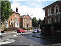
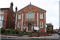
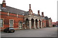
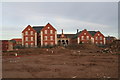
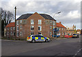
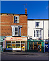
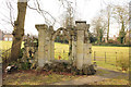

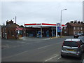
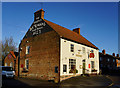

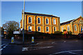
100 photos from this area
Area Information
Key information about the LN11 9AL including its size, population, and administrative classification.
- Area Type
- Postcode
- Area Size
- 7055 m²
- Population
- 2329
- Population Density
- 3755 people/km²
House Prices in LN11 9AL
26
Properties
£93,143
Average Sold Price
£30,900
Lowest Price
£182,500
Highest Price
Showing 26 properties
| Address | Type | Beds | Baths | Last Sale Price | Last Sale Date | |
|---|---|---|---|---|---|---|
| 3 Priory Road, Louth, LN11 9AL | Semi-detached | 3 | 1 | £152,000 | May 2025 | |
| 30 Priory Road, Louth, LN11 9AL | Terraced | 3 | 1 | £127,500 | Mar 2025 | |
| 8 Priory Road, Louth, LN11 9AL | Terraced | 2 | - | £87,500 | May 2023 | |
| 18 Priory Road, Louth, LN11 9AL | Semi-detached | 3 | 3 | £70,000 | Jan 2023 | |
| 34 Priory Road, Louth, LN11 9AL | Terraced | 2 | 1 | £122,500 | Oct 2021 | |
| 6A Priory Road, Louth, LN11 9AL | house | - | - | £60,000 | Aug 2021 | |
| 40 Priory Road, Louth, LN11 9AL | Detached | 3 | 1 | £181,000 | Jul 2021 | |
| 2 Priory Road, Louth, LN11 9AL | Terraced | 2 | 1 | £95,000 | Dec 2020 | |
| 38 Priory Road, Louth, LN11 9AL | Terraced | 2 | 1 | £87,500 | May 2020 | |
| 11A Priory Road, Louth, LN11 9AL | Semi-detached | 3 | - | £182,500 | Mar 2019 |
Page 1 of 3
Energy Efficiency in LN11 9AL
Amenities
Schools
| Rank | School | Type | Entry gender | Ages |
|---|
Explore more schools in this area
Go to Schools tabDemographics
Household Size
One person
most common
Accommodation Type
Houses
most common
Tenure
53
majority
Ethnic Group
White
most common
Religion
N/A
most common
Household Composition
N/A
most common
Age
47
median
Adults (30-64 years)
most common
Household Deprivation
N/A
with no deprivation
NS-SEC
26
in Lower managerial occupations
Explore more demographic insights in this area
Go to Demographics tabPlanning
Planning Constraints
- Flood RiskPremium
- Ramsar Wetland SitesPremium
- Area of Outstanding Natural BeautyPremium
- Protected Nature ReservePremium
- Protected WoodlandPremium