Area Overview for LN11 7AP
Photos of LN11 7AP
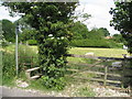
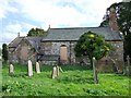

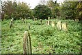
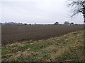
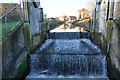
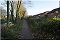
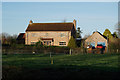
57 photos from this area
Area Information
Key information about the LN11 7AP including its size, population, and administrative classification.
- Area Type
- Postcode
- Area Size
- 9148 m²
- Population
- 2475
- Population Density
- 4850 people/km²
House Prices in LN11 7AP
31
Properties
£84,458
Average Sold Price
£28,000
Lowest Price
£257,500
Highest Price
Showing 31 properties
| Address | Type | Beds | Baths | Last Sale Price | Last Sale Date | |
|---|---|---|---|---|---|---|
| 99 Eastfield Road, Louth, LN11 7AP | Terraced | 2 | 1 | £100,025 | Jun 2024 | |
| 63A Eastfield Road, Louth, LN11 7AP | Detached | 3 | 2 | £257,500 | Apr 2024 | |
| 59 Eastfield Road, Louth, LN11 7AP | house | 2 | - | £123,500 | Dec 2023 | |
| 57 Eastfield Road, Louth, LN11 7AP | Terraced | 2 | 1 | £119,000 | Jun 2023 | |
| 97 Eastfield Road, Louth, LN11 7AP | Terraced | 2 | 1 | £110,000 | Apr 2023 | |
| 91 Eastfield Road, Louth, LN11 7AP | house | 2 | - | £115,000 | Apr 2023 | |
| 77 Eastfield Road, Louth, LN11 7AP | Terraced | 2 | 1 | £105,000 | Jul 2022 | |
| 105 Eastfield Road, Louth, LN11 7AP | Terraced | 2 | 1 | £83,000 | Aug 2017 | |
| 65 Eastfield Road, Louth, LN11 7AP | Terraced | 2 | - | £63,100 | May 2016 | |
| 61 Eastfield Road, Louth, LN11 7AP | Terraced | 2 | 1 | £72,500 | Mar 2016 |
Page 1 of 4
Energy Efficiency in LN11 7AP
Amenities
Schools
| Rank | School | Type | Entry gender | Ages |
|---|
Explore more schools in this area
Go to Schools tabDemographics
Household Size
One person
most common
Accommodation Type
Houses
most common
Tenure
49
majority
Ethnic Group
White
most common
Religion
N/A
most common
Household Composition
N/A
most common
Age
47
median
Adults (30-64 years)
most common
Household Deprivation
N/A
with no deprivation
NS-SEC
20
in Lower managerial occupations
Explore more demographic insights in this area
Go to Demographics tabPlanning
Planning Constraints
- Flood RiskPremium
- Ramsar Wetland SitesPremium
- Area of Outstanding Natural BeautyPremium
- Protected Nature ReservePremium
- Protected WoodlandPremium