Area Overview for LN11 0DQ
Photos of LN11 0DQ
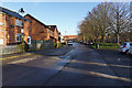
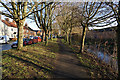
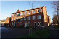
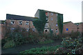
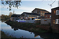

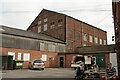
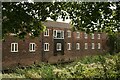
48 photos from this area
Area Information
Key information about the LN11 0DQ including its size, population, and administrative classification.
- Area Type
- Postcode
- Area Size
- 7324 m²
- Population
- 1396
- Population Density
- 4002 people/km²
House Prices in LN11 0DQ
17
Properties
£148,731
Average Sold Price
£47,000
Lowest Price
£278,000
Highest Price
Showing 17 properties
| Address | Type | Beds | Baths | Last Sale Price | Last Sale Date | |
|---|---|---|---|---|---|---|
| 26 Elm Drive, Louth, LN11 0DQ | Detached | 4 | 1 | £278,000 | Apr 2025 | |
| 30 Elm Drive, Louth, LN11 0DQ | Semi-detached | 3 | 1 | £180,000 | Sep 2024 | |
| 32 Elm Drive, Louth, LN11 0DQ | Semi-detached | 2 | 1 | £209,000 | Apr 2023 | |
| 2 Elm Drive, Louth, LN11 0DQ | Detached | 3 | 1 | £190,000 | Jan 2018 | |
| 22 Elm Drive, Louth, LN11 0DQ | Semi-detached | 4 | - | £188,000 | Jul 2015 | |
| 14 Elm Drive, Louth, LN11 0DQ | house | - | - | £178,000 | Jun 2014 | |
| 12 Elm Drive, Louth, LN11 0DQ | house | - | - | £150,000 | Oct 2012 | |
| 16 Elm Drive, Louth, LN11 0DQ | Semi-detached | - | - | £95,000 | Apr 2012 | |
| 24 Elm Drive, Louth, LN11 0DQ | Semi-detached | - | - | £142,000 | Mar 2006 | |
| 6 Elm Drive, Louth, LN11 0DQ | house | - | - | £134,000 | Jul 2005 |
Page 1 of 2
Energy Efficiency in LN11 0DQ
Amenities
Schools
| Rank | School | Type | Entry gender | Ages |
|---|
Explore more schools in this area
Go to Schools tabDemographics
Household Size
Two person
most common
Accommodation Type
Houses
most common
Tenure
84
majority
Ethnic Group
White
most common
Religion
N/A
most common
Household Composition
N/A
most common
Age
47
median
Adults (30-64 years)
most common
Household Deprivation
N/A
with no deprivation
NS-SEC
35
in Lower managerial occupations
Explore more demographic insights in this area
Go to Demographics tabPlanning
Planning Constraints
- Flood RiskPremium
- Ramsar Wetland SitesPremium
- Area of Outstanding Natural BeautyPremium
- Protected Nature ReservePremium
- Protected WoodlandPremium