Area Overview for LN10 6PE
Photos of LN10 6PE
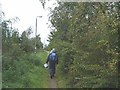
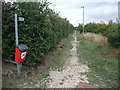

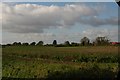
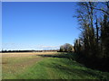
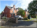
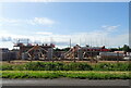
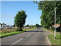
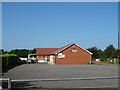
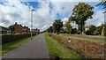
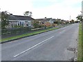
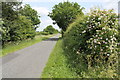
22 photos from this area
Area Information
Key information about the LN10 6PE including its size, population, and administrative classification.
- Area Type
- Postcode
- Area Size
- 6298 m²
- Population
- 1826
- Population Density
- 185 people/km²
House Prices in LN10 6PE
10
Properties
£265,350
Average Sold Price
£82,500
Lowest Price
£560,000
Highest Price
Showing 10 properties
| Address | Type | Beds | Baths | Last Sale Price | Last Sale Date | |
|---|---|---|---|---|---|---|
| 1 Hunston Road, Woodhall Spa, LN10 6PE | Detached | 4 | 2 | £560,000 | Sep 2025 | |
| 6 Hunston Road, Woodhall Spa, LN10 6PE | house | - | - | £300,000 | Jun 2020 | |
| 5 Hunston Road, Woodhall Spa, LN10 6PE | Detached | 4 | 2 | £358,000 | Apr 2020 | |
| 7 Hunston Road, Woodhall Spa, LN10 6PE | Detached | 4 | 2 | £310,000 | Jan 2020 | |
| 2 Hunston Road, Woodhall Spa, LN10 6PE | house | - | - | £183,000 | Dec 2013 | |
| 11 Hunston Road, Woodhall Spa, LN10 6PE | house | - | - | £282,000 | Jun 2010 | |
| 8 Hunston Road, Woodhall Spa, LN10 6PE | house | - | - | £225,000 | Sep 2006 | |
| 4 Hunston Road, Woodhall Spa, LN10 6PE | Detached | - | - | £220,000 | May 2004 | |
| 9 Hunston Road, Woodhall Spa, LN10 6PE | Detached | - | - | £133,000 | Aug 2002 | |
| 3 Hunston Road, Woodhall Spa, LN10 6PE | Detached | - | - | £82,500 | Aug 1997 |
Energy Efficiency in LN10 6PE
Amenities
Schools
| Rank | School | Type | Entry gender | Ages |
|---|
Explore more schools in this area
Go to Schools tabDemographics
Household Size
Two person
most common
Accommodation Type
Houses
most common
Tenure
87
majority
Ethnic Group
White
most common
Religion
N/A
most common
Household Composition
N/A
most common
Age
47
median
Elderly (65+ years)
most common
Household Deprivation
N/A
with no deprivation
NS-SEC
38
in Lower managerial occupations
Explore more demographic insights in this area
Go to Demographics tabPlanning
Planning Constraints
- Flood RiskPremium
- Ramsar Wetland SitesPremium
- Area of Outstanding Natural BeautyPremium
- Protected Nature ReservePremium
- Protected WoodlandPremium