Area Overview for LN1 3EH
Photos of LN1 3EH
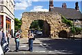
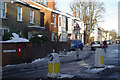
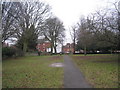
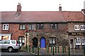
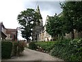
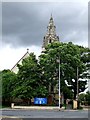
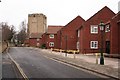
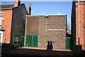
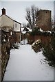
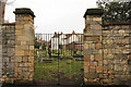
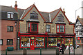
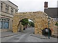
100 photos from this area
Area Information
Key information about the LN1 3EH including its size, population, and administrative classification.
- Area Type
- Postcode
- Area Size
- 4780 m²
- Population
- 1884
- Population Density
- 6871 people/km²
House Prices in LN1 3EH
31
Properties
£123,940
Average Sold Price
£38,500
Lowest Price
£168,500
Highest Price
Showing 31 properties
| Address | Type | Beds | Baths | Last Sale Price | Last Sale Date | |
|---|---|---|---|---|---|---|
| 27 Good Lane, Lincoln, LN1 3EH | Terraced | 3 | 1 | £135,000 | Aug 2025 | |
| 17 Good Lane, Lincoln, LN1 3EH | Terraced | 2 | 2 | £145,000 | Mar 2025 | |
| 10 Good Lane, Lincoln, LN1 3EH | Terraced | 4 | 1 | £168,500 | Mar 2023 | |
| 12 Good Lane, Lincoln, LN1 3EH | house | - | - | £154,000 | Apr 2021 | |
| 30 Good Lane, Lincoln, LN1 3EH | Terraced | 2 | 1 | £150,000 | Nov 2020 | |
| 14 Good Lane, Lincoln, LN1 3EH | Terraced | 2 | 1 | £126,343 | Mar 2016 | |
| 21 Good Lane, Lincoln, LN1 3EH | Terraced | 3 | - | £131,000 | Nov 2011 | |
| 20 Good Lane, Lincoln, LN1 3EH | house | 2 | - | £100,000 | Oct 2011 | |
| 13 Good Lane, Lincoln, LN1 3EH | Terraced | 2 | 1 | £124,999 | Feb 2010 | |
| 19 Good Lane, Lincoln, LN1 3EH | Terraced | - | - | £90,000 | Nov 2003 |
Page 1 of 4
Energy Efficiency in LN1 3EH
Amenities
Schools
| Rank | School | Type | Entry gender | Ages |
|---|
Explore more schools in this area
Go to Schools tabDemographics
Household Size
One person
most common
Accommodation Type
Houses
most common
Tenure
39
majority
Ethnic Group
White
most common
Religion
N/A
most common
Household Composition
N/A
most common
Age
47
median
Adults (30-64 years)
most common
Household Deprivation
N/A
with no deprivation
NS-SEC
31
in Lower managerial occupations
Explore more demographic insights in this area
Go to Demographics tabPlanning
Planning Constraints
- Flood RiskPremium
- Ramsar Wetland SitesPremium
- Area of Outstanding Natural BeautyPremium
- Protected Nature ReservePremium
- Protected WoodlandPremium