Area Overview for LN1 1RU
Photos of LN1 1RU
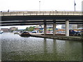

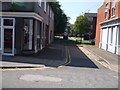
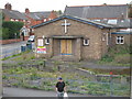
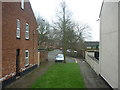
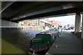
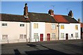

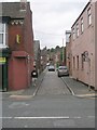
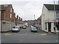
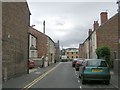
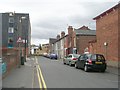
100 photos from this area
Area Information
Key information about the LN1 1RU including its size, population, and administrative classification.
- Area Type
- Postcode
- Area Size
- 2.8 hectares
- Population
- 2265
- Population Density
- 3334 people/km²
House Prices in LN1 1RU
66
Properties
£167,018
Average Sold Price
£46,500
Lowest Price
£287,500
Highest Price
Showing 66 properties
| Address | Type | Beds | Baths | Last Sale Price | Last Sale Date | |
|---|---|---|---|---|---|---|
| 129 Carholme Road, Lincoln, LN1 1RU | Terraced | 5 | 1 | £250,000 | May 2024 | |
| 151 Carholme Road, Lincoln, LN1 1RU | Terraced | 6 | 2 | £242,500 | Apr 2024 | |
| 153 Carholme Road, Lincoln, LN1 1RU | Terraced | 4 | 1 | £220,000 | Jan 2024 | |
| 127 Carholme Road, Lincoln, LN1 1RU | Semi-detached | 3 | 1 | £190,000 | Dec 2023 | |
| 143 Carholme Road, Lincoln, LN1 1RU | Terraced | 3 | 2 | £228,000 | Nov 2023 | |
| 145 Carholme Road, Lincoln, LN1 1RU | Terraced | 4 | 2 | £215,000 | Aug 2023 | |
| 125A Carholme Road, Lincoln, LN1 1RU | Maisonette | - | - | £200,000 | Jun 2021 | |
| 191 Carholme Road, Lincoln, LN1 1RU | Semi-detached | 5 | 1 | £287,500 | Oct 2020 | |
| 135 Carholme Road, Lincoln, LN1 1RU | Terraced | 5 | 2 | £265,000 | Apr 2020 | |
| 187 Carholme Road, Lincoln, LN1 1RU | Semi-detached | 1 | 1 | £172,500 | Jan 2020 |
Page 1 of 7
Energy Efficiency in LN1 1RU
Amenities
Schools
| Rank | School | Type | Entry gender | Ages |
|---|
Explore more schools in this area
Go to Schools tabDemographics
Household Size
Family (3-5 people)
most common
Accommodation Type
Houses
most common
Tenure
37
majority
Ethnic Group
White
most common
Religion
N/A
most common
Household Composition
N/A
most common
Age
22
median
Young Adults (15-29 years)
most common
Household Deprivation
N/A
with no deprivation
NS-SEC
25
in Lower managerial occupations
Explore more demographic insights in this area
Go to Demographics tabPlanning
Planning Constraints
- Flood RiskPremium
- Ramsar Wetland SitesPremium
- Area of Outstanding Natural BeautyPremium
- Protected Nature ReservePremium
- Protected WoodlandPremium