Area Overview for LN1 1LH
Photos of LN1 1LH

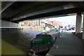
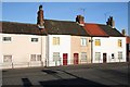

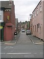
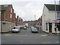
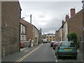
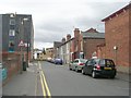
100 photos from this area
Area Information
Key information about the LN1 1LH including its size, population, and administrative classification.
- Area Type
- Postcode
- Area Size
- 7936 m²
- Population
- 1668
- Population Density
- 7153 people/km²
House Prices in LN1 1LH
43
Properties
£199,000
Average Sold Price
£42,000
Lowest Price
£421,000
Highest Price
Showing 43 properties
| Address | Type | Beds | Baths | Last Sale Price | Last Sale Date | |
|---|---|---|---|---|---|---|
| The Stables, 80A Richmond Road, Lincoln, LN1 1LH | Detached | 2 | 1 | £165,000 | Sep 2025 | |
| 74 Richmond Road, Lincoln, LN1 1LH | Terraced | 4 | 2 | £315,000 | May 2024 | |
| 69 Richmond Road, Lincoln, LN1 1LH | house | 1 | 6 | £260,000 | Apr 2024 | |
| 73 Richmond Road, Lincoln, LN1 1LH | Unknown | - | - | £421,000 | Feb 2024 | |
| 62 Richmond Road, Lincoln, LN1 1LH | Terraced | 1 | - | £320,000 | Jan 2024 | |
| 85 Richmond Road, Lincoln, LN1 1LH | house | 2 | - | £221,000 | Oct 2021 | |
| 57 Richmond Road, Lincoln, LN1 1LH | Terraced | 6 | 2 | £320,000 | Jul 2021 | |
| 89 Richmond Road, Lincoln, LN1 1LH | house | - | - | £235,000 | Jun 2021 | |
| 87 Richmond Road, Lincoln, LN1 1LH | Terraced | 3 | 1 | £212,000 | May 2021 | |
| 70 Richmond Road, Lincoln, LN1 1LH | Terraced | 4 | 1 | £280,000 | Jun 2020 |
Page 1 of 5
Energy Efficiency in LN1 1LH
Amenities
Schools
| Rank | School | Type | Entry gender | Ages |
|---|
Explore more schools in this area
Go to Schools tabDemographics
Household Size
One person
most common
Accommodation Type
Houses
most common
Tenure
54
majority
Ethnic Group
White
most common
Religion
N/A
most common
Household Composition
N/A
most common
Age
22
median
Young Adults (15-29 years)
most common
Household Deprivation
N/A
with no deprivation
NS-SEC
27
in Lower managerial occupations
Explore more demographic insights in this area
Go to Demographics tabPlanning
Planning Constraints
- Flood RiskPremium
- Ramsar Wetland SitesPremium
- Area of Outstanding Natural BeautyPremium
- Protected Nature ReservePremium
- Protected WoodlandPremium