Area Overview for LE9 7PH
Photos of LE9 7PH
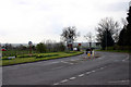
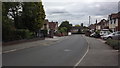
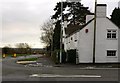
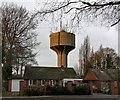
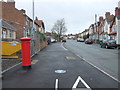
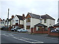
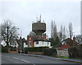
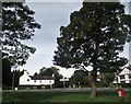
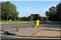
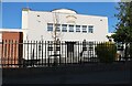
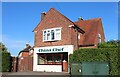
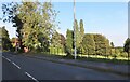
20 photos from this area
Area Information
Key information about the LE9 7PH including its size, population, and administrative classification.
- Area Type
- Postcode
- Area Size
- 1.2 hectares
- Population
- 1675
- Population Density
- 3215 people/km²
House Prices in LE9 7PH
30
Properties
£109,067
Average Sold Price
£31,600
Lowest Price
£185,000
Highest Price
Showing 30 properties
| Address | Type | Beds | Baths | Last Sale Price | Last Sale Date | |
|---|---|---|---|---|---|---|
| 19 Mallory Street, Earl Shilton, LE9 7PH | Semi-detached | 3 | 1 | £185,000 | Sep 2025 | |
| 8 Mallory Street, Earl Shilton, LE9 7PH | house | 2 | 1 | £150,000 | Jan 2021 | |
| 18 Mallory Street, Earl Shilton, LE9 7PH | Semi-detached | 2 | 1 | £142,000 | Jul 2019 | |
| 17 Mallory Street, Earl Shilton, LE9 7PH | Semi-detached | 3 | 2 | £170,000 | Oct 2018 | |
| 22 Mallory Street, Earl Shilton, LE9 7PH | Semi-detached | 2 | 1 | £89,000 | Jan 2014 | |
| 12 Mallory Street, Earl Shilton, LE9 7PH | house | - | - | £92,500 | May 2009 | |
| 3 Mallory Street, Earl Shilton, LE9 7PH | house | - | - | £80,000 | Dec 2008 | |
| 13 Mallory Street, Earl Shilton, LE9 7PH | house | - | - | £41,500 | May 2000 | |
| 24 Mallory Street, Earl Shilton, LE9 7PH | Semi-detached | - | - | £31,600 | Jul 1998 | |
| 4 Mallory Street, Earl Shilton, LE9 7PH | house | - | - | - | - |
Page 1 of 3
Energy Efficiency in LE9 7PH
Amenities
Schools
| Rank | School | Type | Entry gender | Ages |
|---|
Explore more schools in this area
Go to Schools tabDemographics
Household Size
Two person
most common
Accommodation Type
Houses
most common
Tenure
73
majority
Ethnic Group
White
most common
Religion
N/A
most common
Household Composition
N/A
most common
Age
47
median
Adults (30-64 years)
most common
Household Deprivation
N/A
with no deprivation
NS-SEC
27
in Lower managerial occupations
Explore more demographic insights in this area
Go to Demographics tabPlanning
Planning Constraints
- Flood RiskPremium
- Ramsar Wetland SitesPremium
- Area of Outstanding Natural BeautyPremium
- Protected Nature ReservePremium
- Protected WoodlandPremium