Area Overview for LE9 7NG
Photos of LE9 7NG
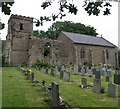
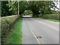
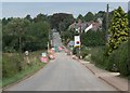
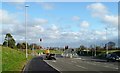
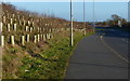
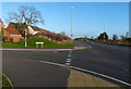
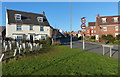
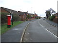
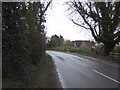
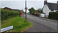
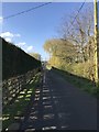
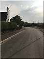
21 photos from this area
Area Information
Key information about the LE9 7NG including its size, population, and administrative classification.
- Area Type
- Postcode
- Area Size
- 2.0 hectares
- Population
- 1296
- Population Density
- 125 people/km²
House Prices in LE9 7NG
28
Properties
£304,055
Average Sold Price
£214,750
Lowest Price
£530,000
Highest Price
Showing 28 properties
| Address | Type | Beds | Baths | Last Sale Price | Last Sale Date | |
|---|---|---|---|---|---|---|
| 8 Wentworth Avenue, Elmesthorpe, LE9 7NG | Detached | 4 | 3 | £387,500 | Oct 2025 | |
| 14 Wentworth Avenue, Elmesthorpe, LE9 7NG | house | - | - | £530,000 | Mar 2025 | |
| 12 Wentworth Avenue, Elmesthorpe, LE9 7NG | house | - | - | £460,000 | Jul 2024 | |
| 21 Wentworth Avenue, Elmesthorpe, LE9 7NG | Detached | 4 | 2 | £395,000 | Nov 2022 | |
| 22 Wentworth Avenue, Elmesthorpe, LE9 7NG | house | - | - | £250,000 | Dec 2021 | |
| 27 Wentworth Avenue, Elmesthorpe, LE9 7NG | Detached | 4 | 2 | £330,000 | Oct 2020 | |
| 7 Wentworth Avenue, Elmesthorpe, LE9 7NG | Detached | 4 | 3 | £316,500 | Aug 2017 | |
| 18 Wentworth Avenue, Elmesthorpe, LE9 7NG | Detached | 5 | 4 | £409,750 | Jun 2016 | |
| 33 Wentworth Avenue, Elmesthorpe, LE9 7NG | house | - | - | £242,750 | Jun 2016 | |
| 35 Wentworth Avenue, Elmesthorpe, LE9 7NG | house | 4 | 2 | £269,750 | Jun 2016 |
Page 1 of 3
Energy Efficiency in LE9 7NG
Amenities
Schools
| Rank | School | Type | Entry gender | Ages |
|---|
Explore more schools in this area
Go to Schools tabDemographics
Household Size
Two person
most common
Accommodation Type
Houses
most common
Tenure
87
majority
Ethnic Group
White
most common
Religion
N/A
most common
Household Composition
N/A
most common
Age
47
median
Adults (30-64 years)
most common
Household Deprivation
N/A
with no deprivation
NS-SEC
36
in Lower managerial occupations
Explore more demographic insights in this area
Go to Demographics tabPlanning
Planning Constraints
- Flood RiskPremium
- Ramsar Wetland SitesPremium
- Area of Outstanding Natural BeautyPremium
- Protected Nature ReservePremium
- Protected WoodlandPremium