Area Overview for LE9 7FB
Photos of LE9 7FB
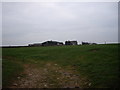
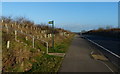
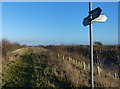
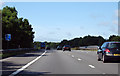
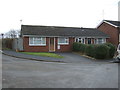
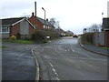
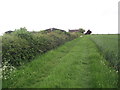

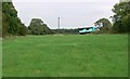
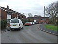

11 photos from this area
Area Information
Key information about the LE9 7FB including its size, population, and administrative classification.
- Area Type
- Postcode
- Area Size
- 37.4 hectares
- Population
- 1906
- Population Density
- 621 people/km²
House Prices in LE9 7FB
41
Properties
£368,413
Average Sold Price
£119,000
Lowest Price
£782,500
Highest Price
Showing 41 properties
| Address | Type | Beds | Baths | Last Sale Price | Last Sale Date | |
|---|---|---|---|---|---|---|
| Eastwood, 29 Breach Lane, Earl Shilton, LE9 7FB | Detached | 4 | 2 | £332,500 | Aug 2025 | |
| 37 Breach Lane, Earl Shilton, LE9 7FB | Detached | 4 | 2 | £510,000 | Jun 2025 | |
| Farwood, 21 Breach Lane, Earl Shilton, LE9 7FB | Detached | 4 | 1 | £630,000 | Mar 2025 | |
| 4 Breach Lane, Earl Shilton, LE9 7FB | Bungalow | 5 | 6 | £367,500 | Nov 2023 | |
| Whitehaven, 8 Breach Lane, Earl Shilton, LE9 7FB | Bungalow | 2 | 2 | £265,000 | Aug 2023 | |
| 22 Breach Lane, Earl Shilton, LE9 7FB | Detached | 5 | 2 | £782,500 | Aug 2023 | |
| 20 Breach Lane, Earl Shilton, LE9 7FB | house | - | - | £350,000 | Jul 2023 | |
| 25 Breach Lane, Earl Shilton, LE9 7FB | house | - | - | £280,000 | Mar 2022 | |
| 23 Breach Lane, Earl Shilton, LE9 7FB | house | - | - | £320,000 | Nov 2021 | |
| Plaidy, 14 Breach Lane, Earl Shilton, LE9 7FB | Bungalow | - | - | £410,000 | Aug 2021 |
Page 1 of 5
Energy Efficiency in LE9 7FB
Amenities
Schools
| Rank | School | Type | Entry gender | Ages |
|---|
Explore more schools in this area
Go to Schools tabDemographics
Household Size
Two person
most common
Accommodation Type
Houses
most common
Tenure
87
majority
Ethnic Group
White
most common
Religion
N/A
most common
Household Composition
N/A
most common
Age
47
median
Adults (30-64 years)
most common
Household Deprivation
N/A
with no deprivation
NS-SEC
34
in Lower managerial occupations
Explore more demographic insights in this area
Go to Demographics tabPlanning
Planning Constraints
- Flood RiskPremium
- Ramsar Wetland SitesPremium
- Area of Outstanding Natural BeautyPremium
- Protected Nature ReservePremium
- Protected WoodlandPremium