Area Overview for LE9 7EL
Photos of LE9 7EL
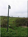
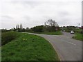
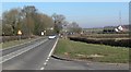
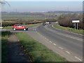
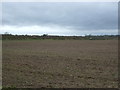
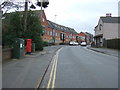
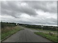
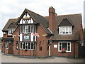
24 photos from this area
Area Information
Key information about the LE9 7EL including its size, population, and administrative classification.
- Area Type
- Postcode
- Area Size
- 7522 m²
- Population
- 1804
- Population Density
- 1541 people/km²
House Prices in LE9 7EL
22
Properties
£116,904
Average Sold Price
£10,589
Lowest Price
£228,000
Highest Price
Showing 22 properties
| Address | Type | Beds | Baths | Last Sale Price | Last Sale Date | |
|---|---|---|---|---|---|---|
| 24 West Street, Earl Shilton, LE9 7EL | Semi-detached | 4 | 1 | £175,000 | Jun 2024 | |
| 21 West Street, Earl Shilton, LE9 7EL | Semi-detached | 3 | 1 | £228,000 | Feb 2023 | |
| 35 West Street, Earl Shilton, LE9 7EL | house | - | - | £150,000 | Feb 2021 | |
| 34 West Street, Earl Shilton, LE9 7EL | Semi-detached | 3 | 1 | £155,000 | Jul 2019 | |
| 31 West Street, Earl Shilton, LE9 7EL | Semi-detached | 3 | 1 | £119,950 | Jan 2017 | |
| 44 West Street, Earl Shilton, LE9 7EL | Semi-detached | 3 | 3 | £140,500 | Dec 2016 | |
| 37 West Street, Earl Shilton, LE9 7EL | house | 3 | - | £120,500 | Dec 2012 | |
| 30 West Street, Earl Shilton, LE9 7EL | Semi-detached | - | - | £38,000 | Dec 2001 | |
| 27 West Street, Earl Shilton, LE9 7EL | Semi-detached | - | - | £31,500 | Jun 1996 | |
| 38 West Street, Earl Shilton, LE9 7EL | house | - | - | £10,589 | Jan 1995 |
Page 1 of 3
Energy Efficiency in LE9 7EL
Amenities
Schools
| Rank | School | Type | Entry gender | Ages |
|---|
Explore more schools in this area
Go to Schools tabDemographics
Household Size
Two person
most common
Accommodation Type
Houses
most common
Tenure
68
majority
Ethnic Group
White
most common
Religion
N/A
most common
Household Composition
N/A
most common
Age
47
median
Adults (30-64 years)
most common
Household Deprivation
N/A
with no deprivation
NS-SEC
24
in Lower managerial occupations
Explore more demographic insights in this area
Go to Demographics tabPlanning
Planning Constraints
- Flood RiskPremium
- Ramsar Wetland SitesPremium
- Area of Outstanding Natural BeautyPremium
- Protected Nature ReservePremium
- Protected WoodlandPremium