Area Overview for LE9 6PL
Photos of LE9 6PL
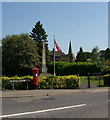
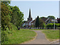
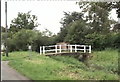
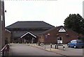
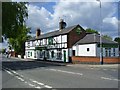
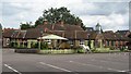
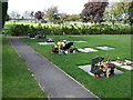
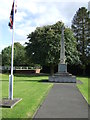
24 photos from this area
Area Information
Key information about the LE9 6PL including its size, population, and administrative classification.
- Area Type
- Postcode
- Area Size
- 1.2 hectares
- Population
- 2200
- Population Density
- 676 people/km²
House Prices in LE9 6PL
30
Properties
£140,386
Average Sold Price
£41,000
Lowest Price
£232,000
Highest Price
Showing 30 properties
| Address | Type | Beds | Baths | Last Sale Price | Last Sale Date | |
|---|---|---|---|---|---|---|
| 50 Jubilee Road, Broughton Astley, LE9 6PL | Semi-detached | 3 | 2 | £232,000 | Aug 2024 | |
| 16 Jubilee Road, Broughton Astley, LE9 6PL | house | - | - | £227,000 | Oct 2022 | |
| 18 Jubilee Road, Broughton Astley, LE9 6PL | house | - | - | £200,000 | Dec 2021 | |
| 54 Jubilee Road, Broughton Astley, LE9 6PL | Semi-detached | 3 | - | £187,000 | Sep 2018 | |
| 14 Jubilee Road, Broughton Astley, LE9 6PL | Semi-detached | 4 | - | £170,000 | Dec 2013 | |
| 20 Jubilee Road, Broughton Astley, LE9 6PL | house | 2 | - | £122,000 | Sep 2013 | |
| 36 Jubilee Road, Broughton Astley, LE9 6PL | house | - | - | £134,250 | Nov 2010 | |
| 24 Jubilee Road, Broughton Astley, LE9 6PL | Semi-detached | - | - | £123,000 | Oct 2004 | |
| 28 Jubilee Road, Broughton Astley, LE9 6PL | Semi-detached | - | - | £48,000 | Oct 1999 | |
| 60 Jubilee Road, Broughton Astley, LE9 6PL | house | - | - | £41,000 | Apr 1998 |
Page 1 of 3
Energy Efficiency in LE9 6PL
Amenities
Schools
| Rank | School | Type | Entry gender | Ages |
|---|
Explore more schools in this area
Go to Schools tabDemographics
Household Size
Two person
most common
Accommodation Type
Houses
most common
Tenure
76
majority
Ethnic Group
White
most common
Religion
N/A
most common
Household Composition
N/A
most common
Age
47
median
Adults (30-64 years)
most common
Household Deprivation
N/A
with no deprivation
NS-SEC
34
in Lower managerial occupations
Explore more demographic insights in this area
Go to Demographics tabPlanning
Planning Constraints
- Flood RiskPremium
- Ramsar Wetland SitesPremium
- Area of Outstanding Natural BeautyPremium
- Protected Nature ReservePremium
- Protected WoodlandPremium