Area Overview for LE9 6NL
Photos of LE9 6NL
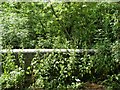
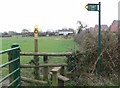
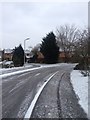
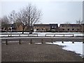
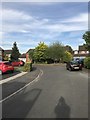
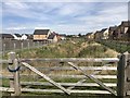
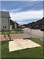
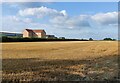
18 photos from this area
Area Information
Key information about the LE9 6NL including its size, population, and administrative classification.
- Area Type
- Postcode
- Area Size
- 1.6 hectares
- Population
- 2264
- Population Density
- 2949 people/km²
House Prices in LE9 6NL
30
Properties
£205,739
Average Sold Price
£69,000
Lowest Price
£325,000
Highest Price
Showing 30 properties
| Address | Type | Beds | Baths | Last Sale Price | Last Sale Date | |
|---|---|---|---|---|---|---|
| 5 Harris Close, Broughton Astley, LE9 6NL | Detached | 3 | 3 | £315,000 | Jun 2024 | |
| 12 Harris Close, Broughton Astley, LE9 6NL | Bungalow | 3 | 1 | £280,000 | Apr 2024 | |
| 23 Harris Close, Broughton Astley, LE9 6NL | Terraced | 2 | - | £217,000 | May 2022 | |
| 6 Harris Close, Broughton Astley, LE9 6NL | Detached | 4 | 2 | £325,000 | Apr 2021 | |
| 25 Harris Close, Broughton Astley, LE9 6NL | house | 3 | - | £230,000 | Apr 2021 | |
| 28 Harris Close, Broughton Astley, LE9 6NL | Semi-detached | 2 | 1 | £186,950 | Nov 2020 | |
| 14 Harris Close, Broughton Astley, LE9 6NL | Bungalow | 2 | - | £191,000 | Dec 2019 | |
| 17 Harris Close, Broughton Astley, LE9 6NL | Detached | 4 | 2 | £309,950 | Nov 2018 | |
| 20 Harris Close, Broughton Astley, LE9 6NL | house | - | - | £135,000 | Jun 2016 | |
| 11 Harris Close, Broughton Astley, LE9 6NL | Bungalow | - | - | £182,500 | Sep 2014 |
Page 1 of 3
Energy Efficiency in LE9 6NL
Amenities
Schools
| Rank | School | Type | Entry gender | Ages |
|---|
Explore more schools in this area
Go to Schools tabDemographics
Household Size
Family (3-5 people)
most common
Accommodation Type
Houses
most common
Tenure
77
majority
Ethnic Group
White
most common
Religion
N/A
most common
Household Composition
N/A
most common
Age
47
median
Adults (30-64 years)
most common
Household Deprivation
N/A
with no deprivation
NS-SEC
39
in Lower managerial occupations
Explore more demographic insights in this area
Go to Demographics tabPlanning
Planning Constraints
- Flood RiskPremium
- Ramsar Wetland SitesPremium
- Area of Outstanding Natural BeautyPremium
- Protected Nature ReservePremium
- Protected WoodlandPremium