Area Overview for LE9 4LS
Photos of LE9 4LS
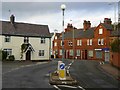
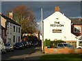
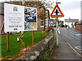
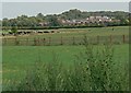
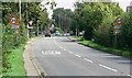
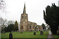
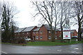
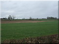
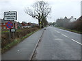
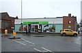
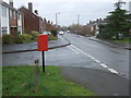
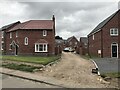
24 photos from this area
Area Information
Key information about the LE9 4LS including its size, population, and administrative classification.
- Area Type
- Postcode
- Area Size
- 8.6 hectares
- Population
- 1951
- Population Density
- 331 people/km²
House Prices in LE9 4LS
29
Properties
£193,690
Average Sold Price
£68,000
Lowest Price
£292,500
Highest Price
Showing 29 properties
| Address | Type | Beds | Baths | Last Sale Price | Last Sale Date | |
|---|---|---|---|---|---|---|
| 34 Park Road, Sapcote, LE9 4LS | Semi-detached | 3 | 2 | £292,500 | Apr 2025 | |
| 22 Park Road, Sapcote, LE9 4LS | Semi-detached | 3 | 1 | £270,000 | Mar 2024 | |
| 20 Park Road, Sapcote, LE9 4LS | Bungalow | - | - | £190,000 | May 2023 | |
| 16 Park Road, Sapcote, LE9 4LS | house | 3 | 1 | £265,000 | May 2022 | |
| 26 Park Road, Sapcote, LE9 4LS | Semi-detached | 3 | 1 | £230,000 | Feb 2021 | |
| 8 Park Road, Sapcote, LE9 4LS | Bungalow | - | - | £202,000 | Jul 2020 | |
| 24 Park Road, Sapcote, LE9 4LS | Semi-detached | - | - | £154,500 | May 2006 | |
| 10 Park Road, Sapcote, LE9 4LS | Semi-detached | - | - | £129,950 | Nov 2003 | |
| 14 Park Road, Sapcote, LE9 4LS | Semi-detached | - | - | £134,950 | Jun 2003 | |
| 4 Park Road, Sapcote, LE9 4LS | Semi-detached | - | - | £68,000 | Mar 1998 |
Page 1 of 3
Energy Efficiency in LE9 4LS
Amenities
Schools
| Rank | School | Type | Entry gender | Ages |
|---|
Explore more schools in this area
Go to Schools tabDemographics
Household Size
Two person
most common
Accommodation Type
Houses
most common
Tenure
71
majority
Ethnic Group
White
most common
Religion
N/A
most common
Household Composition
N/A
most common
Age
47
median
Adults (30-64 years)
most common
Household Deprivation
N/A
with no deprivation
NS-SEC
34
in Lower managerial occupations
Explore more demographic insights in this area
Go to Demographics tabPlanning
Planning Constraints
- Flood RiskPremium
- Ramsar Wetland SitesPremium
- Area of Outstanding Natural BeautyPremium
- Protected Nature ReservePremium
- Protected WoodlandPremium