Area Overview for LE9 3AE
Photos of LE9 3AE
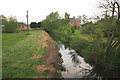
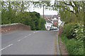
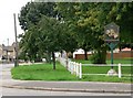
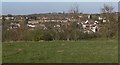
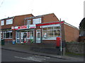
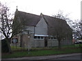
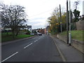
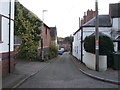
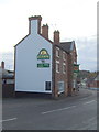
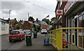
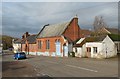
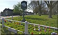
40 photos from this area
Area Information
Key information about the LE9 3AE including its size, population, and administrative classification.
- Area Type
- Postcode
- Area Size
- 9.0 hectares
- Population
- 1155
- Population Density
- 75 people/km²
House Prices in LE9 3AE
27
Properties
£194,155
Average Sold Price
£74,000
Lowest Price
£425,000
Highest Price
Showing 27 properties
| Address | Type | Beds | Baths | Last Sale Price | Last Sale Date | |
|---|---|---|---|---|---|---|
| 7 Chantry Close, Huncote, LE9 3AE | Detached | 4 | 2 | £425,000 | Nov 2023 | |
| 5 Chantry Close, Huncote, LE9 3AE | Detached | 3 | 2 | £257,000 | Apr 2020 | |
| 15 Chantry Close, Huncote, LE9 3AE | Detached | 4 | - | £315,000 | Feb 2020 | |
| 22 Chantry Close, Huncote, LE9 3AE | house | - | - | £267,500 | Jul 2016 | |
| 2 Chantry Close, Huncote, LE9 3AE | Detached | 4 | 2 | £240,000 | Mar 2016 | |
| 9 Chantry Close, Huncote, LE9 3AE | Detached | 5 | - | £273,000 | Dec 2015 | |
| 4 Chantry Close, Huncote, LE9 3AE | Detached | 3 | - | £198,000 | Dec 2014 | |
| 20 Chantry Close, Huncote, LE9 3AE | house | - | - | £275,000 | Feb 2014 | |
| 13 Chantry Close, Huncote, LE9 3AE | house | - | - | £216,500 | Nov 2013 | |
| 28 Chantry Close, Huncote, LE9 3AE | Detached | 4 | - | £219,000 | Nov 2013 |
Page 1 of 3
Energy Efficiency in LE9 3AE
Amenities
Schools
| Rank | School | Type | Entry gender | Ages |
|---|
Explore more schools in this area
Go to Schools tabDemographics
Household Size
Two person
most common
Accommodation Type
Houses
most common
Tenure
77
majority
Ethnic Group
White
most common
Religion
N/A
most common
Household Composition
N/A
most common
Age
47
median
Adults (30-64 years)
most common
Household Deprivation
N/A
with no deprivation
NS-SEC
39
in Lower managerial occupations
Explore more demographic insights in this area
Go to Demographics tabPlanning
Planning Constraints
- Flood RiskPremium
- Ramsar Wetland SitesPremium
- Area of Outstanding Natural BeautyPremium
- Protected Nature ReservePremium
- Protected WoodlandPremium