Area Overview for LE9 2EH
Photos of LE9 2EH
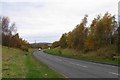
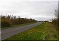
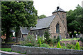
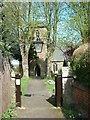
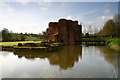

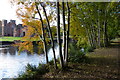
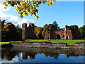
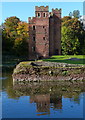
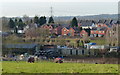
58 photos from this area
Area Information
Key information about the LE9 2EH including its size, population, and administrative classification.
- Area Type
- Postcode
- Area Size
- 7.1 hectares
- Population
- 1298
- Population Density
- 650 people/km²
House Prices in LE9 2EH
17
Properties
£493,591
Average Sold Price
£335,000
Lowest Price
£765,000
Highest Price
Showing 17 properties
| Address | Type | Beds | Baths | Last Sale Price | Last Sale Date | |
|---|---|---|---|---|---|---|
| Glenshane, Portland Road, Kirby Muxloe, LE9 2EH | Detached | 4 | 1 | £625,000 | Oct 2025 | |
| Hillside, Portland Road, Kirby Muxloe, LE9 2EH | Bungalow | 5 | - | £590,000 | Jan 2019 | |
| Glenmore, Portland Road, Kirby Muxloe, LE9 2EH | house | - | - | £450,000 | Sep 2016 | |
| Portland House Care Home, Portland Road, Kirby Muxloe, LE9 2EH | hospital_care_home | 5 | - | £600,000 | Aug 2015 | |
| Ravensbury, Portland Road, Kirby Muxloe, LE9 2EH | Detached | 4 | 3 | £475,000 | Mar 2015 | |
| Hardwick House, Portland Road, Kirby Muxloe, LE9 2EH | house | - | - | £765,000 | Feb 2014 | |
| Westward, Portland Road, Kirby Muxloe, LE9 2EH | Detached | - | - | £357,500 | Jul 2013 | |
| Cedar Lodge, Portland Road, Kirby Muxloe, LE9 2EH | house | 4 | - | £335,000 | Dec 2012 | |
| Enderley, Portland Road, Kirby Muxloe, LE9 2EH | house | 4 | - | £425,000 | May 2012 | |
| Birchdown, Portland Road, Kirby Muxloe, LE9 2EH | Bungalow | 3 | 2 | £447,000 | Oct 2009 |
Page 1 of 2
Energy Efficiency in LE9 2EH
Amenities
Schools
| Rank | School | Type | Entry gender | Ages |
|---|
Explore more schools in this area
Go to Schools tabDemographics
Household Size
Two person
most common
Accommodation Type
Houses
most common
Tenure
83
majority
Ethnic Group
White
most common
Religion
N/A
most common
Household Composition
N/A
most common
Age
47
median
Adults (30-64 years)
most common
Household Deprivation
N/A
with no deprivation
NS-SEC
40
in Lower managerial occupations
Explore more demographic insights in this area
Go to Demographics tabPlanning
Planning Constraints
- Flood RiskPremium
- Ramsar Wetland SitesPremium
- Area of Outstanding Natural BeautyPremium
- Protected Nature ReservePremium
- Protected WoodlandPremium