Area Overview for LE9 1WE
Photos of LE9 1WE
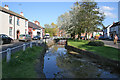
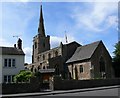
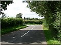
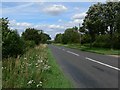
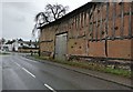
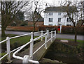
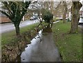
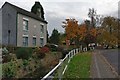
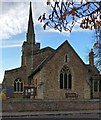
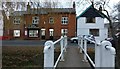
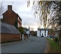
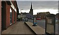
43 photos from this area
Area Information
Key information about the LE9 1WE including its size, population, and administrative classification.
- Area Type
- Postcode
- Area Size
- 6228 m²
- Population
- 2350
- Population Density
- 366 people/km²
House Prices in LE9 1WE
9
Properties
£504,406
Average Sold Price
£394,950
Lowest Price
£740,000
Highest Price
Showing 9 properties
| Address | Type | Beds | Baths | Last Sale Price | Last Sale Date | |
|---|---|---|---|---|---|---|
| 15 Ridge Gardens, Cosby, LE9 1WE | house | - | - | £470,000 | Jun 2022 | |
| 7 Ridge Gardens, Cosby, LE9 1WE | house | - | - | £515,000 | Dec 2020 | |
| 9 Ridge Gardens, Cosby, LE9 1WE | house | - | - | £504,750 | Nov 2020 | |
| 11 Ridge Gardens, Cosby, LE9 1WE | house | 4 | - | £495,000 | Sep 2020 | |
| 17 Ridge Gardens, Cosby, LE9 1WE | house | - | - | £570,000 | Dec 2019 | |
| 1 Ridge Gardens, Cosby, LE9 1WE | Detached | 4 | 2 | £740,000 | Nov 2019 | |
| 19 Ridge Gardens, Cosby, LE9 1WE | Detached | 4 | - | £450,000 | Sep 2018 | |
| 3 Ridge Gardens, Cosby, LE9 1WE | Detached | 4 | 2 | £394,950 | Jul 2018 | |
| 5 Ridge Gardens, Cosby, LE9 1WE | house | - | - | £399,950 | Oct 2017 |
Energy Efficiency in LE9 1WE
Amenities
Schools
| Rank | School | Type | Entry gender | Ages |
|---|
Explore more schools in this area
Go to Schools tabDemographics
Household Size
Family (3-5 people)
most common
Accommodation Type
Houses
most common
Tenure
88
majority
Ethnic Group
White
most common
Religion
N/A
most common
Household Composition
N/A
most common
Age
47
median
Adults (30-64 years)
most common
Household Deprivation
N/A
with no deprivation
NS-SEC
45
in Lower managerial occupations
Explore more demographic insights in this area
Go to Demographics tabPlanning
Planning Constraints
- Flood RiskPremium
- Ramsar Wetland SitesPremium
- Area of Outstanding Natural BeautyPremium
- Protected Nature ReservePremium
- Protected WoodlandPremium