Area Overview for LE8 6NZ
Photos of LE8 6NZ
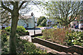
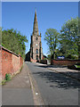
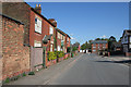
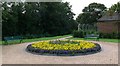
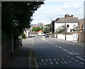
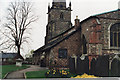
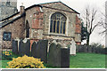
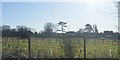
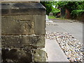
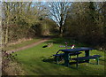
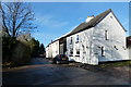
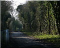
38 photos from this area
Area Information
Key information about the LE8 6NZ including its size, population, and administrative classification.
- Area Type
- Postcode
- Area Size
- 4889 m²
- Population
- 1532
- Population Density
- 2505 people/km²
House Prices in LE8 6NZ
21
Properties
£134,163
Average Sold Price
£46,000
Lowest Price
£205,000
Highest Price
Showing 21 properties
| Address | Type | Beds | Baths | Last Sale Price | Last Sale Date | |
|---|---|---|---|---|---|---|
| 7 Shenton Close, Whetstone, LE8 6NZ | house | 2 | 1 | £190,000 | Jul 2024 | |
| 20 Shenton Close, Whetstone, LE8 6NZ | Terraced | 3 | 1 | £205,000 | May 2023 | |
| 9 Shenton Close, Whetstone, LE8 6NZ | house | - | - | £200,000 | Feb 2023 | |
| 18 Shenton Close, Whetstone, LE8 6NZ | Terraced | 2 | - | £172,500 | Jun 2022 | |
| 13 Shenton Close, Whetstone, LE8 6NZ | Terraced | 1 | 1 | £135,000 | Jan 2022 | |
| 15 Shenton Close, Whetstone, LE8 6NZ | house | 1 | - | £130,000 | Feb 2021 | |
| 21 Shenton Close, Whetstone, LE8 6NZ | house | 2 | 1 | £160,000 | Jul 2019 | |
| 10 Shenton Close, Whetstone, LE8 6NZ | Semi-detached | 2 | 1 | £161,000 | May 2019 | |
| 11 Shenton Close, Whetstone, LE8 6NZ | house | - | - | £133,000 | Aug 2016 | |
| 16 Shenton Close, Whetstone, LE8 6NZ | Semi-detached | 2 | - | £141,000 | Mar 2016 |
Page 1 of 3
Energy Efficiency in LE8 6NZ
Amenities
Schools
| Rank | School | Type | Entry gender | Ages |
|---|
Explore more schools in this area
Go to Schools tabDemographics
Household Size
Two person
most common
Accommodation Type
Houses
most common
Tenure
70
majority
Ethnic Group
White
most common
Religion
N/A
most common
Household Composition
N/A
most common
Age
47
median
Adults (30-64 years)
most common
Household Deprivation
N/A
with no deprivation
NS-SEC
28
in Lower managerial occupations
Explore more demographic insights in this area
Go to Demographics tabPlanning
Planning Constraints
- Flood RiskPremium
- Ramsar Wetland SitesPremium
- Area of Outstanding Natural BeautyPremium
- Protected Nature ReservePremium
- Protected WoodlandPremium