Area Overview for LE8 6NY
Photos of LE8 6NY
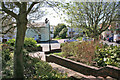
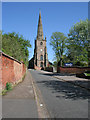
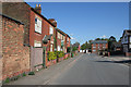
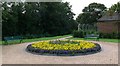
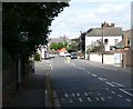
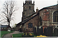
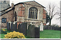
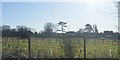
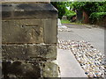
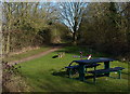
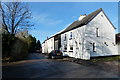
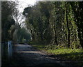
38 photos from this area
Area Information
Key information about the LE8 6NY including its size, population, and administrative classification.
- Area Type
- Postcode
- Area Size
- 9825 m²
- Population
- 1532
- Population Density
- 2505 people/km²
House Prices in LE8 6NY
28
Properties
£162,497
Average Sold Price
£44,500
Lowest Price
£272,000
Highest Price
Showing 28 properties
| Address | Type | Beds | Baths | Last Sale Price | Last Sale Date | |
|---|---|---|---|---|---|---|
| 18 Greenfields, Whetstone, LE8 6NY | Semi-detached | 3 | 1 | £241,000 | Jun 2025 | |
| 15 Greenfields, Whetstone, LE8 6NY | Semi-detached | 3 | - | £272,000 | Aug 2024 | |
| 8 Greenfields, Whetstone, LE8 6NY | Bungalow | 3 | 1 | £181,500 | Jul 2021 | |
| 20 Greenfields, Whetstone, LE8 6NY | house | - | - | £230,000 | Jul 2021 | |
| 13 Greenfields, Whetstone, LE8 6NY | Semi-detached | 3 | 1 | £195,000 | May 2019 | |
| 11 Greenfields, Whetstone, LE8 6NY | Semi-detached | 3 | - | £190,000 | Jul 2018 | |
| 6 Greenfields, Whetstone, LE8 6NY | Semi-detached | 2 | - | £168,000 | Apr 2017 | |
| 17 Greenfields, Whetstone, LE8 6NY | Semi-detached | 4 | 2 | £195,000 | Feb 2017 | |
| 10 Greenfields, Whetstone, LE8 6NY | Semi-detached | 2 | - | £165,000 | Aug 2015 | |
| 16 Greenfields, Whetstone, LE8 6NY | house | - | - | £160,000 | May 2015 |
Page 1 of 3
Energy Efficiency in LE8 6NY
Amenities
Schools
| Rank | School | Type | Entry gender | Ages |
|---|
Explore more schools in this area
Go to Schools tabDemographics
Household Size
Two person
most common
Accommodation Type
Houses
most common
Tenure
70
majority
Ethnic Group
White
most common
Religion
N/A
most common
Household Composition
N/A
most common
Age
47
median
Adults (30-64 years)
most common
Household Deprivation
N/A
with no deprivation
NS-SEC
28
in Lower managerial occupations
Explore more demographic insights in this area
Go to Demographics tabPlanning
Planning Constraints
- Flood RiskPremium
- Ramsar Wetland SitesPremium
- Area of Outstanding Natural BeautyPremium
- Protected Nature ReservePremium
- Protected WoodlandPremium