Area Overview for LE8 0RA
Photos of LE8 0RA
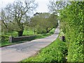
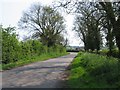
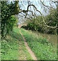
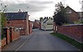
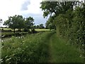
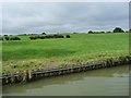
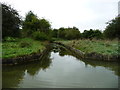
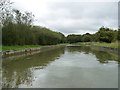
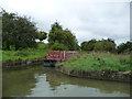
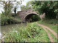
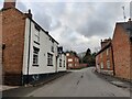
48 photos from this area
Area Information
Key information about the LE8 0RA including its size, population, and administrative classification.
- Area Type
- Postcode
- Area Size
- 12.7 hectares
- Population
- 1656
- Population Density
- 206 people/km²
House Prices in LE8 0RA
21
Properties
£418,083
Average Sold Price
£115,000
Lowest Price
£925,000
Highest Price
Showing 21 properties
| Address | Type | Beds | Baths | Last Sale Price | Last Sale Date | |
|---|---|---|---|---|---|---|
| 24 Westerby Lane, Smeeton Westerby, LE8 0RA | house | - | - | £925,000 | Jul 2024 | |
| La Cachette, 27 Westerby Lane, Smeeton Westerby, LE8 0RA | house | - | - | £475,000 | Jan 2023 | |
| 5 Westerby Lane, Smeeton Westerby, LE8 0RA | Bungalow | - | - | £490,000 | Jun 2021 | |
| 3 Westerby Lane, Smeeton Westerby, LE8 0RA | house | 4 | 1 | £528,000 | Jun 2021 | |
| 31 Westerby Lane, Smeeton Westerby, LE8 0RA | house | - | - | £400,000 | Apr 2018 | |
| 1 Westerby Lane, Smeeton Westerby, LE8 0RA | house | - | - | £365,000 | Feb 2016 | |
| 15 Westerby Lane, Smeeton Westerby, LE8 0RA | Cottage | 4 | 2 | £371,000 | Jun 2015 | |
| 2 Westerby Lane, Smeeton Westerby, LE8 0RA | house | - | - | £275,000 | Dec 2009 | |
| Orchard House, 22 Westerby Lane, Smeeton Westerby, LE8 0RA | Detached | - | - | £485,000 | Oct 2006 | |
| Old Westerby Cottage, 38 Westerby Lane, Smeeton Westerby, LE8 0RA | house | - | - | £470,000 | Oct 2002 |
Page 1 of 3
Energy Efficiency in LE8 0RA
Amenities
Schools
| Rank | School | Type | Entry gender | Ages |
|---|
Explore more schools in this area
Go to Schools tabDemographics
Household Size
Two person
most common
Accommodation Type
Houses
most common
Tenure
84
majority
Ethnic Group
White
most common
Religion
N/A
most common
Household Composition
N/A
most common
Age
47
median
Adults (30-64 years)
most common
Household Deprivation
N/A
with no deprivation
NS-SEC
45
in Lower managerial occupations
Explore more demographic insights in this area
Go to Demographics tabPlanning
Planning Constraints
- Flood RiskPremium
- Ramsar Wetland SitesPremium
- Area of Outstanding Natural BeautyPremium
- Protected Nature ReservePremium
- Protected WoodlandPremium