Area Overview for LE7 9UL
Photos of LE7 9UL
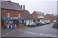
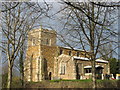
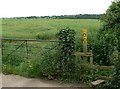
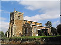
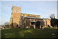
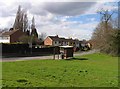
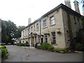
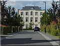
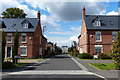
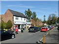
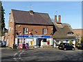
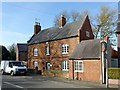
67 photos from this area
Area Information
Key information about the LE7 9UL including its size, population, and administrative classification.
- Area Type
- Postcode
- Area Size
- 2.0 hectares
- Population
- 1534
- Population Density
- 1866 people/km²
House Prices in LE7 9UL
14
Properties
£283,715
Average Sold Price
£86,000
Lowest Price
£520,000
Highest Price
Showing 14 properties
| Address | Type | Beds | Baths | Last Sale Price | Last Sale Date | |
|---|---|---|---|---|---|---|
| 8 Padgate Close, Scraptoft, LE7 9UL | Detached | 5 | 2 | £475,000 | Nov 2025 | |
| 2 Padgate Close, Scraptoft, LE7 9UL | Bungalow | 3 | 1 | £310,000 | Aug 2025 | |
| 5 Padgate Close, Scraptoft, LE7 9UL | Detached | 4 | 2 | £520,000 | Mar 2025 | |
| 11 Padgate Close, Scraptoft, LE7 9UL | Bungalow | - | - | £315,150 | Apr 2022 | |
| 10 Padgate Close, Scraptoft, LE7 9UL | Bungalow | 2 | - | £296,000 | May 2021 | |
| 14 Padgate Close, Scraptoft, LE7 9UL | Detached | 3 | 1 | £280,000 | Mar 2020 | |
| 7 Padgate Close, Scraptoft, LE7 9UL | Detached | 4 | - | £277,500 | Sep 2014 | |
| 3 Padgate Close, Scraptoft, LE7 9UL | Bungalow | 2 | 1 | £147,500 | Sep 2010 | |
| 13 Padgate Close, Scraptoft, LE7 9UL | Detached | 4 | 2 | £130,000 | Feb 2002 | |
| 1 Padgate Close, Scraptoft, LE7 9UL | Retail | 4 | 2 | £86,000 | Jun 1996 |
Page 1 of 2
Energy Efficiency in LE7 9UL
Amenities
Schools
| Rank | School | Type | Entry gender | Ages |
|---|
Explore more schools in this area
Go to Schools tabDemographics
Household Size
Family (3-5 people)
most common
Accommodation Type
Houses
most common
Tenure
91
majority
Ethnic Group
White
most common
Religion
N/A
most common
Household Composition
N/A
most common
Age
47
median
Adults (30-64 years)
most common
Household Deprivation
N/A
with no deprivation
NS-SEC
36
in Lower managerial occupations
Explore more demographic insights in this area
Go to Demographics tabPlanning
Planning Constraints
- Flood RiskPremium
- Ramsar Wetland SitesPremium
- Area of Outstanding Natural BeautyPremium
- Protected Nature ReservePremium
- Protected WoodlandPremium