Area Overview for LE7 9TX
Photos of LE7 9TX
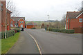
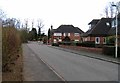
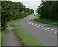
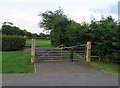
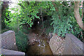
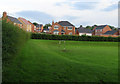
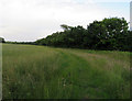
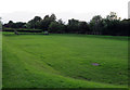
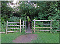
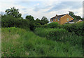
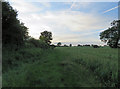
28 photos from this area
Area Information
Key information about the LE7 9TX including its size, population, and administrative classification.
- Area Type
- Postcode
- Area Size
- 1.6 hectares
- Population
- 2095
- Population Density
- 767 people/km²
House Prices in LE7 9TX
45
Properties
£279,600
Average Sold Price
£146,000
Lowest Price
£552,612
Highest Price
Showing 45 properties
| Address | Type | Beds | Baths | Last Sale Price | Last Sale Date | |
|---|---|---|---|---|---|---|
| 22 Foxglove Avenue, Thurnby, LE7 9TX | Detached | 4 | 2 | £465,000 | Dec 2025 | |
| 7 Foxglove Avenue, Thurnby, LE7 9TX | Detached | 3 | 2 | £330,000 | Dec 2025 | |
| 1 Foxglove Avenue, Thurnby, LE7 9TX | Detached | 3 | 2 | £325,000 | May 2025 | |
| 15 Foxglove Avenue, Thurnby, LE7 9TX | Semi-detached | 2 | 1 | £146,000 | Nov 2024 | |
| 6 Foxglove Avenue, Thurnby, LE7 9TX | house | - | - | £300,000 | Jul 2024 | |
| 5 Foxglove Avenue, Thurnby, LE7 9TX | Detached | 3 | 2 | £325,000 | Dec 2022 | |
| 8 Foxglove Avenue, Thurnby, LE7 9TX | house | - | - | £226,000 | Sep 2020 | |
| 14 Foxglove Avenue, Thurnby, LE7 9TX | Detached | 4 | 2 | £365,000 | Jul 2020 | |
| 36 Foxglove Avenue, Thurnby, LE7 9TX | Detached | 3 | 2 | £255,450 | Oct 2019 | |
| 25 Foxglove Avenue, Thurnby, LE7 9TX | house | - | - | £229,950 | Mar 2019 |
Page 1 of 5
Energy Efficiency in LE7 9TX
Amenities
Schools
| Rank | School | Type | Entry gender | Ages |
|---|
Explore more schools in this area
Go to Schools tabDemographics
Household Size
Two person
most common
Accommodation Type
Houses
most common
Tenure
91
majority
Ethnic Group
White
most common
Religion
N/A
most common
Household Composition
N/A
most common
Age
47
median
Adults (30-64 years)
most common
Household Deprivation
N/A
with no deprivation
NS-SEC
43
in Lower managerial occupations
Explore more demographic insights in this area
Go to Demographics tabPlanning
Planning Constraints
- Flood RiskPremium
- Ramsar Wetland SitesPremium
- Area of Outstanding Natural BeautyPremium
- Protected Nature ReservePremium
- Protected WoodlandPremium