Area Overview for LE7 7WP
Photos of LE7 7WP
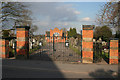
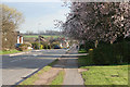
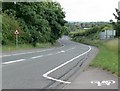
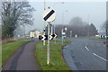
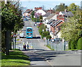
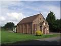
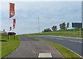
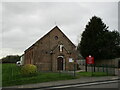
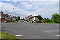

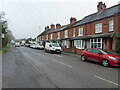
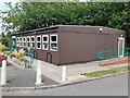
19 photos from this area
Area Information
Key information about the LE7 7WP including its size, population, and administrative classification.
- Area Type
- Postcode
- Area Size
- 1.1 hectares
- Population
- 2905
- Population Density
- 1197 people/km²
House Prices in LE7 7WP
22
Properties
£243,479
Average Sold Price
£194,750
Lowest Price
£330,000
Highest Price
Showing 22 properties
| Address | Type | Beds | Baths | Last Sale Price | Last Sale Date | |
|---|---|---|---|---|---|---|
| 1 Warwick Close, Rothley, LE7 7WP | Terraced | 2 | 1 | £238,000 | Dec 2025 | |
| 4 Warwick Close, Rothley, LE7 7WP | Semi-detached | 2 | 1 | £250,000 | Oct 2025 | |
| 15 Warwick Close, Rothley, LE7 7WP | Semi-detached | 3 | 2 | £330,000 | Mar 2024 | |
| 8 Warwick Close, Rothley, LE7 7WP | Semi-detached | 2 | 1 | £245,000 | May 2023 | |
| 2 Warwick Close, Rothley, LE7 7WP | Retail | 3 | 2 | £295,000 | Dec 2022 | |
| 11 Warwick Close, Rothley, LE7 7WP | house | - | - | £269,000 | Jan 2021 | |
| 17 Warwick Close, Rothley, LE7 7WP | house | - | - | £290,000 | Jan 2021 | |
| 9 Warwick Close, Rothley, LE7 7WP | house | - | - | £205,000 | Nov 2020 | |
| 7 Warwick Close, Rothley, LE7 7WP | house | - | - | £205,000 | Nov 2020 | |
| 6 Warwick Close, Rothley, LE7 7WP | Semi-detached | 2 | 1 | £194,750 | Oct 2020 |
Page 1 of 3
Energy Efficiency in LE7 7WP
Amenities
Schools
| Rank | School | Type | Entry gender | Ages |
|---|
Explore more schools in this area
Go to Schools tabDemographics
Household Size
Family (3-5 people)
most common
Accommodation Type
Houses
most common
Tenure
77
majority
Ethnic Group
White
most common
Religion
N/A
most common
Household Composition
N/A
most common
Age
47
median
Adults (30-64 years)
most common
Household Deprivation
N/A
with no deprivation
NS-SEC
48
in Lower managerial occupations
Explore more demographic insights in this area
Go to Demographics tabPlanning
Planning Constraints
- Flood RiskPremium
- Ramsar Wetland SitesPremium
- Area of Outstanding Natural BeautyPremium
- Protected Nature ReservePremium
- Protected WoodlandPremium