Area Overview for LE7 7RB
Photos of LE7 7RB
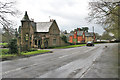
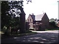
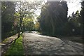
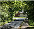
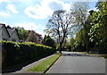
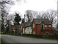
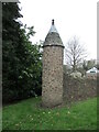
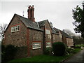

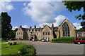
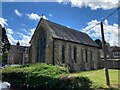
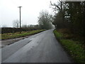
29 photos from this area
Area Information
Key information about the LE7 7RB including its size, population, and administrative classification.
- Area Type
- Postcode
- Area Size
- 9.5 hectares
- Population
- 2338
- Population Density
- 928 people/km²
House Prices in LE7 7RB
33
Properties
£289,110
Average Sold Price
£197,000
Lowest Price
£425,000
Highest Price
Showing 33 properties
| Address | Type | Beds | Baths | Last Sale Price | Last Sale Date | |
|---|---|---|---|---|---|---|
| 62 Templar Way, Rothley, LE7 7RB | Bungalow | 2 | 1 | £315,000 | May 2024 | |
| 62A Templar Way, Rothley, LE7 7RB | Bungalow | 3 | 2 | £355,000 | Apr 2024 | |
| 42 Templar Way, Rothley, LE7 7RB | Bungalow | 3 | 1 | £425,000 | Dec 2023 | |
| Tree Tops, 13 Templar Way, Rothley, LE7 7RB | Bungalow | 3 | 2 | £292,000 | Aug 2023 | |
| 32 Templar Way, Rothley, LE7 7RB | Bungalow | 2 | 1 | £340,000 | Jun 2023 | |
| 23 Templar Way, Rothley, LE7 7RB | Retail | 4 | 2 | £422,000 | Sep 2022 | |
| 38 Templar Way, Rothley, LE7 7RB | Retail | 3 | 1 | £339,750 | Jun 2022 | |
| 16 Templar Way, Rothley, LE7 7RB | Bungalow | - | - | £290,000 | Jun 2021 | |
| 36 Templar Way, Rothley, LE7 7RB | Bungalow | - | - | £285,000 | Apr 2021 | |
| 19 Templar Way, Rothley, LE7 7RB | Bungalow | 3 | 2 | £285,000 | Jul 2019 |
Page 1 of 4
Energy Efficiency in LE7 7RB
Amenities
Schools
| Rank | School | Type | Entry gender | Ages |
|---|
Explore more schools in this area
Go to Schools tabDemographics
Household Size
Two person
most common
Accommodation Type
Houses
most common
Tenure
78
majority
Ethnic Group
White
most common
Religion
N/A
most common
Household Composition
N/A
most common
Age
47
median
Adults (30-64 years)
most common
Household Deprivation
N/A
with no deprivation
NS-SEC
47
in Lower managerial occupations
Explore more demographic insights in this area
Go to Demographics tabPlanning
Planning Constraints
- Flood RiskPremium
- Ramsar Wetland SitesPremium
- Area of Outstanding Natural BeautyPremium
- Protected Nature ReservePremium
- Protected WoodlandPremium