Area Overview for LE7 7FB
Photos of LE7 7FB
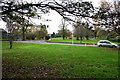
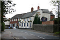
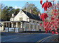
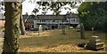
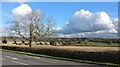
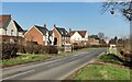
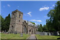
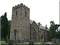
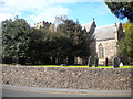
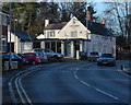
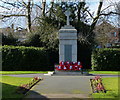
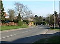
19 photos from this area
Area Information
Key information about the LE7 7FB including its size, population, and administrative classification.
- Area Type
- Postcode
- Area Size
- 8012 m²
- Population
- 2296
- Population Density
- 1163 people/km²
House Prices in LE7 7FB
19
Properties
£225,577
Average Sold Price
£38,500
Lowest Price
£595,000
Highest Price
Showing 19 properties
| Address | Type | Beds | Baths | Last Sale Price | Last Sale Date | |
|---|---|---|---|---|---|---|
| 98 Bradgate Road, Anstey, LE7 7FB | Detached | 5 | 2 | £575,000 | Oct 2024 | |
| 74 Bradgate Road, Anstey, LE7 7FB | Terraced | 3 | 1 | £193,000 | Apr 2024 | |
| 84 Bradgate Road, Anstey, LE7 7FB | Detached | 3 | 1 | £595,000 | Oct 2023 | |
| 106 Bradgate Road, Anstey, LE7 7FB | Detached | 4 | 1 | £330,000 | Aug 2023 | |
| 78 Bradgate Road, Anstey, LE7 7FB | house | - | - | £265,000 | Jan 2021 | |
| 144 Bradgate Road, Anstey, LE7 7FB | Semi-detached | 3 | 1 | £185,000 | Jan 2020 | |
| 104 Bradgate Road, Anstey, LE7 7FB | Semi-detached | - | - | £110,000 | Mar 2018 | |
| 142 Bradgate Road, Anstey, LE7 7FB | house | - | - | £115,500 | Mar 2009 | |
| 114 Bradgate Road, Anstey, LE7 7FB | house | - | - | £190,000 | Oct 2007 | |
| 146 Bradgate Road, Anstey, LE7 7FB | Terraced | - | - | £97,500 | Feb 2003 |
Page 1 of 2
Energy Efficiency in LE7 7FB
Amenities
Schools
| Rank | School | Type | Entry gender | Ages |
|---|
Explore more schools in this area
Go to Schools tabDemographics
Household Size
Two person
most common
Accommodation Type
Houses
most common
Tenure
81
majority
Ethnic Group
White
most common
Religion
N/A
most common
Household Composition
N/A
most common
Age
47
median
Adults (30-64 years)
most common
Household Deprivation
N/A
with no deprivation
NS-SEC
40
in Lower managerial occupations
Explore more demographic insights in this area
Go to Demographics tabPlanning
Planning Constraints
- Flood RiskPremium
- Ramsar Wetland SitesPremium
- Area of Outstanding Natural BeautyPremium
- Protected Nature ReservePremium
- Protected WoodlandPremium