Area Overview for LE7 7BR
Photos of LE7 7BR
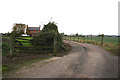
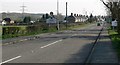
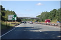
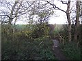
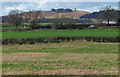
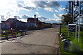
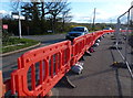
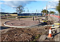
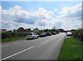
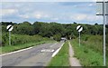
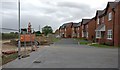
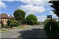
29 photos from this area
Area Information
Key information about the LE7 7BR including its size, population, and administrative classification.
- Area Type
- Postcode
- Area Size
- 6.2 hectares
- Population
- 2397
- Population Density
- 2230 people/km²
House Prices in LE7 7BR
41
Properties
£204,633
Average Sold Price
£59,000
Lowest Price
£345,000
Highest Price
Showing 41 properties
| Address | Type | Beds | Baths | Last Sale Price | Last Sale Date | |
|---|---|---|---|---|---|---|
| 163 Cropston Road, Anstey, LE7 7BR | Semi-detached | 3 | 2 | £255,000 | Feb 2025 | |
| 123 Cropston Road, Anstey, LE7 7BR | Semi-detached | 3 | 1 | £282,000 | Aug 2024 | |
| 141 Cropston Road, Anstey, LE7 7BR | Semi-detached | 4 | 2 | £345,000 | Mar 2024 | |
| 127 Cropston Road, Anstey, LE7 7BR | Bungalow | 2 | 1 | £240,000 | Oct 2023 | |
| 153 Cropston Road, Anstey, LE7 7BR | Semi-detached | 3 | 1 | £268,000 | Oct 2023 | |
| 183 Cropston Road, Anstey, LE7 7BR | house | 3 | 1 | £312,000 | May 2022 | |
| 147 Cropston Road, Anstey, LE7 7BR | house | - | - | £230,000 | Dec 2021 | |
| 117 Cropston Road, Anstey, LE7 7BR | house | - | - | £296,000 | Nov 2021 | |
| 155 Cropston Road, Anstey, LE7 7BR | Semi-detached | 4 | 2 | £220,000 | Jul 2021 | |
| 157 Cropston Road, Anstey, LE7 7BR | house | - | - | £280,000 | May 2021 |
Page 1 of 5
Energy Efficiency in LE7 7BR
Amenities
Schools
| Rank | School | Type | Entry gender | Ages |
|---|
Explore more schools in this area
Go to Schools tabDemographics
Household Size
Two person
most common
Accommodation Type
Houses
most common
Tenure
78
majority
Ethnic Group
White
most common
Religion
N/A
most common
Household Composition
N/A
most common
Age
47
median
Adults (30-64 years)
most common
Household Deprivation
N/A
with no deprivation
NS-SEC
37
in Lower managerial occupations
Explore more demographic insights in this area
Go to Demographics tabPlanning
Planning Constraints
- Flood RiskPremium
- Ramsar Wetland SitesPremium
- Area of Outstanding Natural BeautyPremium
- Protected Nature ReservePremium
- Protected WoodlandPremium