Area Overview for LE7 3FE
Photos of LE7 3FE
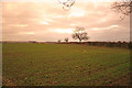
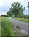
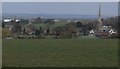
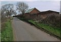
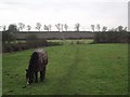
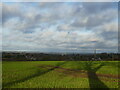
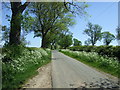
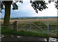
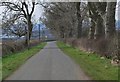
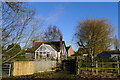
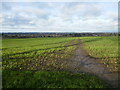
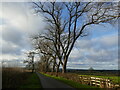
14 photos from this area
Area Information
Key information about the LE7 3FE including its size, population, and administrative classification.
- Area Type
- Postcode
- Area Size
- 31.9 hectares
- Population
- 1847
- Population Density
- 816 people/km²
House Prices in LE7 3FE
34
Properties
£270,844
Average Sold Price
£100,000
Lowest Price
£486,000
Highest Price
Showing 34 properties
| Address | Type | Beds | Baths | Last Sale Price | Last Sale Date | |
|---|---|---|---|---|---|---|
| 37 Barkby Road, Queniborough, LE7 3FE | Bungalow | 3 | - | £300,000 | Nov 2025 | |
| 13 Barkby Road, Queniborough, LE7 3FE | Terraced | 2 | 2 | £225,000 | Feb 2025 | |
| 53 Barkby Road, Queniborough, LE7 3FE | Detached | 5 | 2 | £486,000 | Aug 2024 | |
| 1 Barkby Road, Queniborough, LE7 3FE | Bungalow | 3 | - | £275,000 | May 2023 | |
| 11 Barkby Road, Queniborough, LE7 3FE | house | 3 | - | £190,000 | Apr 2021 | |
| 51 Barkby Road, Queniborough, LE7 3FE | Detached | 3 | - | £416,000 | Oct 2020 | |
| 25 Barkby Road, Queniborough, LE7 3FE | Bungalow | 3 | 2 | £335,000 | Nov 2019 | |
| 3 Barkby Road, Queniborough, LE7 3FE | Bungalow | 2 | 1 | £225,000 | May 2019 | |
| 23 Barkby Road, Queniborough, LE7 3FE | Bungalow | 3 | 1 | £315,000 | Aug 2018 | |
| 29 Barkby Road, Queniborough, LE7 3FE | house | - | - | £137,500 | Aug 2016 |
Page 1 of 4
Energy Efficiency in LE7 3FE
Amenities
Schools
| Rank | School | Type | Entry gender | Ages |
|---|
Explore more schools in this area
Go to Schools tabDemographics
Household Size
Two person
most common
Accommodation Type
Houses
most common
Tenure
89
majority
Ethnic Group
White
most common
Religion
N/A
most common
Household Composition
N/A
most common
Age
47
median
Adults (30-64 years)
most common
Household Deprivation
N/A
with no deprivation
NS-SEC
36
in Lower managerial occupations
Explore more demographic insights in this area
Go to Demographics tabPlanning
Planning Constraints
- Flood RiskPremium
- Ramsar Wetland SitesPremium
- Area of Outstanding Natural BeautyPremium
- Protected Nature ReservePremium
- Protected WoodlandPremium