Area Overview for LE7 2PQ
Photos of LE7 2PQ
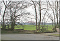


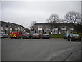
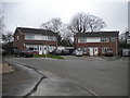
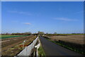
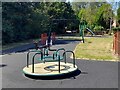

25 photos from this area
Area Information
Key information about the LE7 2PQ including its size, population, and administrative classification.
- Area Type
- Postcode
- Area Size
- 7156 m²
- Population
- 1436
- Population Density
- 5475 people/km²
House Prices in LE7 2PQ
24
Properties
£138,708
Average Sold Price
£39,950
Lowest Price
£230,000
Highest Price
Showing 24 properties
| Address | Type | Beds | Baths | Last Sale Price | Last Sale Date | |
|---|---|---|---|---|---|---|
| 17 Ash Drive, Syston, LE7 2PQ | Semi-detached | 2 | 1 | £215,000 | Apr 2025 | |
| 9 Ash Drive, Syston, LE7 2PQ | Terraced | 2 | 1 | £208,000 | Mar 2025 | |
| 3 Ash Drive, Syston, LE7 2PQ | Terraced | 2 | 1 | £190,000 | Feb 2024 | |
| 15 Ash Drive, Syston, LE7 2PQ | Terraced | 2 | 1 | £162,000 | Aug 2022 | |
| 8 Ash Drive, Syston, LE7 2PQ | house | - | - | £230,000 | Feb 2020 | |
| 31 Ash Drive, Syston, LE7 2PQ | Terraced | 2 | - | £140,000 | Mar 2018 | |
| 11 Ash Drive, Syston, LE7 2PQ | house | - | - | £135,000 | Feb 2016 | |
| 16 Ash Drive, Syston, LE7 2PQ | Semi-detached | 3 | - | £150,000 | Jun 2014 | |
| 37 Ash Drive, Syston, LE7 2PQ | house | - | - | £136,500 | Dec 2007 | |
| 33 Ash Drive, Syston, LE7 2PQ | Terraced | - | - | £83,750 | Aug 2003 |
Page 1 of 3
Energy Efficiency in LE7 2PQ
Amenities
Schools
| Rank | School | Type | Entry gender | Ages |
|---|
Explore more schools in this area
Go to Schools tabDemographics
Household Size
Two person
most common
Accommodation Type
Houses
most common
Tenure
82
majority
Ethnic Group
White
most common
Religion
N/A
most common
Household Composition
N/A
most common
Age
47
median
Adults (30-64 years)
most common
Household Deprivation
N/A
with no deprivation
NS-SEC
31
in Lower managerial occupations
Explore more demographic insights in this area
Go to Demographics tabPlanning
Planning Constraints
- Flood RiskPremium
- Ramsar Wetland SitesPremium
- Area of Outstanding Natural BeautyPremium
- Protected Nature ReservePremium
- Protected WoodlandPremium