Area Overview for LE7 2LN
Photos of LE7 2LN
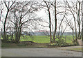
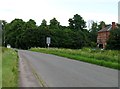
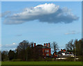
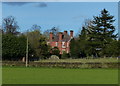
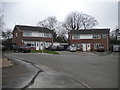
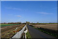
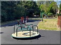
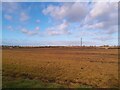
25 photos from this area
Area Information
Key information about the LE7 2LN including its size, population, and administrative classification.
- Area Type
- Postcode
- Area Size
- 8900 m²
- Population
- 1229
- Population Density
- 5605 people/km²
House Prices in LE7 2LN
24
Properties
£169,309
Average Sold Price
£53,500
Lowest Price
£287,500
Highest Price
Showing 24 properties
| Address | Type | Beds | Baths | Last Sale Price | Last Sale Date | |
|---|---|---|---|---|---|---|
| 23 Dalley Close, Syston, LE7 2LN | Semi-detached | 3 | 1 | £287,500 | Aug 2025 | |
| 17 Dalley Close, Syston, LE7 2LN | Semi-detached | 3 | 1 | £228,000 | May 2021 | |
| 13 Dalley Close, Syston, LE7 2LN | Semi-detached | 3 | 2 | £226,000 | Oct 2020 | |
| 19 Dalley Close, Syston, LE7 2LN | Semi-detached | 3 | 1 | £175,000 | Jan 2019 | |
| 8 Dalley Close, Syston, LE7 2LN | Semi-detached | 3 | 1 | £178,425 | Nov 2016 | |
| 9 Dalley Close, Syston, LE7 2LN | Semi-detached | 4 | - | £185,000 | Oct 2016 | |
| 16 Dalley Close, Syston, LE7 2LN | Semi-detached | 3 | 1 | £196,000 | May 2016 | |
| 3 Dalley Close, Syston, LE7 2LN | Semi-detached | 4 | - | £175,000 | May 2014 | |
| 20 Dalley Close, Syston, LE7 2LN | Semi-detached | 2 | - | £129,950 | Oct 2013 | |
| 22 Dalley Close, Syston, LE7 2LN | house | - | - | £125,000 | Mar 2012 |
Page 1 of 3
Energy Efficiency in LE7 2LN
Amenities
Schools
| Rank | School | Type | Entry gender | Ages |
|---|
Explore more schools in this area
Go to Schools tabDemographics
Household Size
Two person
most common
Accommodation Type
Houses
most common
Tenure
88
majority
Ethnic Group
White
most common
Religion
N/A
most common
Household Composition
N/A
most common
Age
47
median
Adults (30-64 years)
most common
Household Deprivation
N/A
with no deprivation
NS-SEC
32
in Lower managerial occupations
Explore more demographic insights in this area
Go to Demographics tabPlanning
Planning Constraints
- Flood RiskPremium
- Ramsar Wetland SitesPremium
- Area of Outstanding Natural BeautyPremium
- Protected Nature ReservePremium
- Protected WoodlandPremium