Area Overview for LE7 2BS
Photos of LE7 2BS
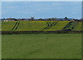
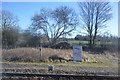
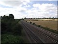
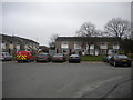
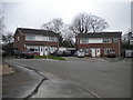
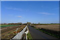
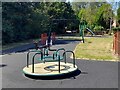
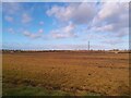
25 photos from this area
Area Information
Key information about the LE7 2BS including its size, population, and administrative classification.
- Area Type
- Postcode
- Area Size
- 9731 m²
- Population
- 1706
- Population Density
- 516 people/km²
House Prices in LE7 2BS
14
Properties
£238,449
Average Sold Price
£145,345
Lowest Price
£320,000
Highest Price
Showing 14 properties
| Address | Type | Beds | Baths | Last Sale Price | Last Sale Date | |
|---|---|---|---|---|---|---|
| 12 Barr Road, Syston, LE7 2BS | Semi-detached | 3 | 2 | £270,000 | Jul 2022 | |
| 2 Barr Road, Syston, LE7 2BS | house | 4 | 1 | £293,500 | Jun 2021 | |
| 14 Barr Road, Syston, LE7 2BS | house | 4 | 2 | £249,950 | May 2019 | |
| 7 Barr Road, Syston, LE7 2BS | Detached | 5 | 3 | £315,000 | Apr 2019 | |
| 9 Barr Road, Syston, LE7 2BS | house | - | - | £255,000 | Dec 2017 | |
| 10 Barr Road, Syston, LE7 2BS | Semi-detached | 3 | 2 | £187,000 | Jan 2016 | |
| 15 Barr Road, Syston, LE7 2BS | house | 4 | - | £237,000 | Jun 2011 | |
| 8 Barr Road, Syston, LE7 2BS | house | 4 | - | £192,500 | Apr 2011 | |
| 5 Barr Road, Syston, LE7 2BS | house | 4 | - | £230,000 | Sep 2010 | |
| 11 Barr Road, Syston, LE7 2BS | Detached | - | - | £230,000 | Jan 2009 |
Page 1 of 2
Energy Efficiency in LE7 2BS
Amenities
Schools
| Rank | School | Type | Entry gender | Ages |
|---|
Explore more schools in this area
Go to Schools tabDemographics
Household Size
Family (3-5 people)
most common
Accommodation Type
Houses
most common
Tenure
83
majority
Ethnic Group
White
most common
Religion
N/A
most common
Household Composition
N/A
most common
Age
47
median
Adults (30-64 years)
most common
Household Deprivation
N/A
with no deprivation
NS-SEC
40
in Lower managerial occupations
Explore more demographic insights in this area
Go to Demographics tabPlanning
Planning Constraints
- Flood RiskPremium
- Ramsar Wetland SitesPremium
- Area of Outstanding Natural BeautyPremium
- Protected Nature ReservePremium
- Protected WoodlandPremium