Area Overview for LE7 1LP
Photos of LE7 1LP
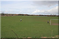
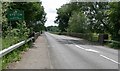
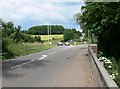
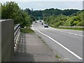
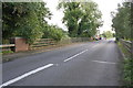
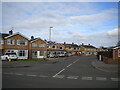
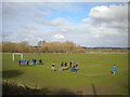
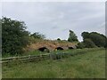
31 photos from this area
Area Information
Key information about the LE7 1LP including its size, population, and administrative classification.
- Area Type
- Postcode
- Area Size
- 8.3 hectares
- Population
- 1400
- Population Density
- 2250 people/km²
House Prices in LE7 1LP
16
Properties
£212,042
Average Sold Price
£52,000
Lowest Price
£350,000
Highest Price
Showing 16 properties
| Address | Type | Beds | Baths | Last Sale Price | Last Sale Date | |
|---|---|---|---|---|---|---|
| 11 Clumber Close, Syston, LE7 1LP | Detached | 3 | 1 | £337,500 | Oct 2025 | |
| 9 Clumber Close, Syston, LE7 1LP | Bungalow | 3 | 1 | £350,000 | Apr 2024 | |
| 13 Clumber Close, Syston, LE7 1LP | Bungalow | 2 | 1 | £300,000 | Oct 2023 | |
| 8 Clumber Close, Syston, LE7 1LP | Semi-detached | 2 | 1 | £205,000 | Jan 2020 | |
| 2 Clumber Close, Syston, LE7 1LP | Semi-detached | 2 | 1 | £225,000 | Oct 2019 | |
| 14 Clumber Close, Syston, LE7 1LP | Bungalow | - | - | £175,000 | Mar 2019 | |
| 1 Clumber Close, Syston, LE7 1LP | Bungalow | - | - | £235,000 | Jan 2019 | |
| 4 Clumber Close, Syston, LE7 1LP | Bungalow | 2 | 1 | £222,000 | Sep 2018 | |
| 15 Clumber Close, Syston, LE7 1LP | Bungalow | 2 | - | £195,000 | Aug 2013 | |
| 6 Clumber Close, Syston, LE7 1LP | Bungalow | 2 | - | £133,000 | Apr 2008 |
Page 1 of 2
Energy Efficiency in LE7 1LP
Amenities
Schools
| Rank | School | Type | Entry gender | Ages |
|---|
Explore more schools in this area
Go to Schools tabDemographics
Household Size
One person
most common
Accommodation Type
Houses
most common
Tenure
60
majority
Ethnic Group
White
most common
Religion
N/A
most common
Household Composition
N/A
most common
Age
47
median
Adults (30-64 years)
most common
Household Deprivation
N/A
with no deprivation
NS-SEC
28
in Lower managerial occupations
Explore more demographic insights in this area
Go to Demographics tabPlanning
Planning Constraints
- Flood RiskPremium
- Ramsar Wetland SitesPremium
- Area of Outstanding Natural BeautyPremium
- Protected Nature ReservePremium
- Protected WoodlandPremium