Area Overview for LE67 9WA
Photos of LE67 9WA
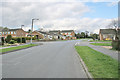
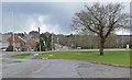
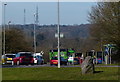
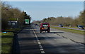

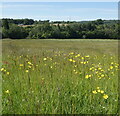
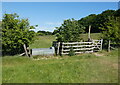
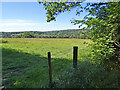
25 photos from this area
Area Information
Key information about the LE67 9WA including its size, population, and administrative classification.
- Area Type
- Postcode
- Area Size
- 2.3 hectares
- Population
- 1433
- Population Density
- 3880 people/km²
House Prices in LE67 9WA
43
Properties
£204,758
Average Sold Price
£69,000
Lowest Price
£455,000
Highest Price
Showing 43 properties
| Address | Type | Beds | Baths | Last Sale Price | Last Sale Date | |
|---|---|---|---|---|---|---|
| 46 Park Avenue, Markfield, LE67 9WA | Bungalow | 3 | 1 | £385,000 | Jan 2025 | |
| 6 Park Avenue, Markfield, LE67 9WA | house | 3 | 2 | £337,000 | Jun 2022 | |
| 42A Park Avenue, Markfield, LE67 9WA | Bungalow | 3 | 2 | £455,000 | Mar 2022 | |
| 44 Park Avenue, Markfield, LE67 9WA | Bungalow | - | - | £273,500 | Dec 2021 | |
| 20 Park Avenue, Markfield, LE67 9WA | Bungalow | 3 | 1 | £210,000 | Dec 2020 | |
| 25 Park Avenue, Markfield, LE67 9WA | Bungalow | 2 | 1 | £210,000 | Dec 2019 | |
| 17 Park Avenue, Markfield, LE67 9WA | Bungalow | 2 | 1 | £183,000 | Sep 2018 | |
| 14 Park Avenue, Markfield, LE67 9WA | Detached | 4 | 1 | £250,000 | Jun 2018 | |
| 21 Park Avenue, Markfield, LE67 9WA | Bungalow | 2 | - | £190,000 | Apr 2016 | |
| 23 Park Avenue, Markfield, LE67 9WA | Detached | - | - | £170,000 | Jun 2014 |
Page 1 of 5
Energy Efficiency in LE67 9WA
Amenities
Schools
| Rank | School | Type | Entry gender | Ages |
|---|
Explore more schools in this area
Go to Schools tabDemographics
Household Size
One person
most common
Accommodation Type
Houses
most common
Tenure
82
majority
Ethnic Group
White
most common
Religion
N/A
most common
Household Composition
N/A
most common
Age
47
median
Adults (30-64 years)
most common
Household Deprivation
N/A
with no deprivation
NS-SEC
35
in Lower managerial occupations
Explore more demographic insights in this area
Go to Demographics tabPlanning
Planning Constraints
- Flood RiskPremium
- Ramsar Wetland SitesPremium
- Area of Outstanding Natural BeautyPremium
- Protected Nature ReservePremium
- Protected WoodlandPremium