Area Overview for LE67 9UN
Photos of LE67 9UN
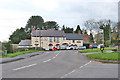
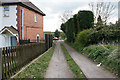
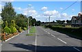
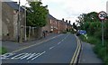
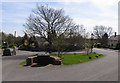
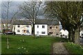
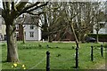
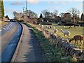
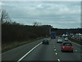
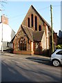
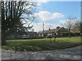
30 photos from this area
Area Information
Key information about the LE67 9UN including its size, population, and administrative classification.
- Area Type
- Postcode
- Area Size
- 13.6 hectares
- Population
- 1409
- Population Density
- 1916 people/km²
House Prices in LE67 9UN
56
Properties
£169,589
Average Sold Price
£12,000
Lowest Price
£425,000
Highest Price
Showing 56 properties
| Address | Type | Beds | Baths | Last Sale Price | Last Sale Date | |
|---|---|---|---|---|---|---|
| 70 Forest Road, Markfield, LE67 9UN | Terraced | 2 | 1 | £152,000 | Sep 2025 | |
| 42 Forest Road, Markfield, LE67 9UN | Terraced | 2 | - | £145,000 | May 2025 | |
| 58 Forest Road, Markfield, LE67 9UN | Semi-detached | 3 | 1 | £260,000 | Oct 2024 | |
| Shawlea, 84 Forest Road, Markfield, LE67 9UN | Bungalow | - | - | £425,000 | Jun 2024 | |
| 66 Forest Road, Markfield, LE67 9UN | Terraced | 2 | 1 | £150,000 | May 2024 | |
| 61 Forest Road, Markfield, LE67 9UN | Detached | 4 | 1 | £330,000 | Dec 2023 | |
| 72 Forest Road, Markfield, LE67 9UN | Terraced | 2 | 1 | £155,000 | Oct 2023 | |
| 64 Forest Road, Markfield, LE67 9UN | Detached | 3 | 1 | £188,500 | Aug 2023 | |
| 44 Forest Road, Markfield, LE67 9UN | Terraced | 2 | 1 | £200,000 | Nov 2022 | |
| 22 Forest Road, Markfield, LE67 9UN | Bungalow | - | - | £130,000 | Feb 2022 |
Page 1 of 6
Energy Efficiency in LE67 9UN
Amenities
Schools
| Rank | School | Type | Entry gender | Ages |
|---|
Explore more schools in this area
Go to Schools tabDemographics
Household Size
Two person
most common
Accommodation Type
Houses
most common
Tenure
77
majority
Ethnic Group
White
most common
Religion
N/A
most common
Household Composition
N/A
most common
Age
47
median
Adults (30-64 years)
most common
Household Deprivation
N/A
with no deprivation
NS-SEC
34
in Lower managerial occupations
Explore more demographic insights in this area
Go to Demographics tabPlanning
Planning Constraints
- Flood RiskPremium
- Ramsar Wetland SitesPremium
- Area of Outstanding Natural BeautyPremium
- Protected Nature ReservePremium
- Protected WoodlandPremium