Area Overview for LE67 9TD
Photos of LE67 9TD
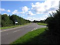
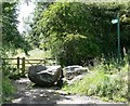
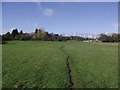

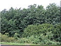
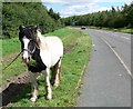
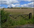


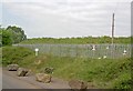
10 photos from this area
Area Information
Key information about the LE67 9TD including its size, population, and administrative classification.
- Area Type
- Postcode
- Area Size
- 45.3 hectares
- Population
- 1519
- Population Density
- 139 people/km²
House Prices in LE67 9TD
12
Properties
£253,930
Average Sold Price
£87,500
Lowest Price
£377,950
Highest Price
Showing 12 properties
| Address | Type | Beds | Baths | Last Sale Price | Last Sale Date | |
|---|---|---|---|---|---|---|
| 85 Main Street, Stanton Under Bardon, LE67 9TD | Detached | 4 | 1 | £325,000 | Sep 2021 | |
| 77 Main Street, Stanton Under Bardon, LE67 9TD | house | - | - | £377,950 | Feb 2021 | |
| 73 Main Street, Stanton Under Bardon, LE67 9TD | Detached | 4 | 2 | £374,950 | Dec 2020 | |
| 75 Main Street, Stanton Under Bardon, LE67 9TD | house | - | - | £374,950 | Nov 2020 | |
| 71 Main Street, Stanton Under Bardon, LE67 9TD | Detached | 4 | - | £330,000 | Jul 2020 | |
| 93 Main Street, Stanton Under Bardon, LE67 9TD | house | 4 | - | £176,000 | Dec 2012 | |
| 79 Main Street, Stanton Under Bardon, LE67 9TD | house | - | - | £242,500 | Jun 2007 | |
| 89 Main Street, Stanton Under Bardon, LE67 9TD | Detached | - | - | £157,500 | Jul 2002 | |
| 81 Main Street, Stanton Under Bardon, LE67 9TD | Detached | - | - | £92,950 | Jan 1998 | |
| 87 Main Street, Stanton Under Bardon, LE67 9TD | Detached | - | - | £87,500 | Dec 1995 |
Page 1 of 2
Energy Efficiency in LE67 9TD
Amenities
Schools
| Rank | School | Type | Entry gender | Ages |
|---|
Explore more schools in this area
Go to Schools tabDemographics
Household Size
Family (3-5 people)
most common
Accommodation Type
Houses
most common
Tenure
80
majority
Ethnic Group
White
most common
Religion
N/A
most common
Household Composition
N/A
most common
Age
47
median
Adults (30-64 years)
most common
Household Deprivation
N/A
with no deprivation
NS-SEC
34
in Lower managerial occupations
Explore more demographic insights in this area
Go to Demographics tabPlanning
Planning Constraints
- Flood RiskPremium
- Ramsar Wetland SitesPremium
- Area of Outstanding Natural BeautyPremium
- Protected Nature ReservePremium
- Protected WoodlandPremium