Area Overview for LE67 4DN
Photos of LE67 4DN
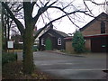

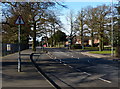
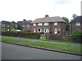
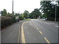
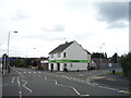
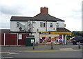
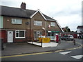
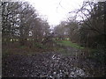


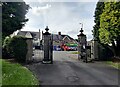
25 photos from this area
Area Information
Key information about the LE67 4DN including its size, population, and administrative classification.
- Area Type
- Postcode
- Area Size
- 3.6 hectares
- Population
- 1224
- Population Density
- 2111 people/km²
House Prices in LE67 4DN
47
Properties
£205,521
Average Sold Price
£65,000
Lowest Price
£442,000
Highest Price
Showing 47 properties
| Address | Type | Beds | Baths | Last Sale Price | Last Sale Date | |
|---|---|---|---|---|---|---|
| 91 Meadow Lane, Coalville, LE67 4DN | house | 3 | 1 | £185,000 | Jul 2024 | |
| 65 Meadow Lane, Coalville, LE67 4DN | Semi-detached | 3 | 1 | £225,000 | Oct 2023 | |
| 7 Meadow Lane, Coalville, LE67 4DN | Semi-detached | 3 | 1 | £320,000 | Oct 2023 | |
| 73 Meadow Lane, Coalville, LE67 4DN | Semi-detached | 3 | 2 | £200,000 | Sep 2023 | |
| 87 Meadow Lane, Coalville, LE67 4DN | Semi-detached | 3 | 1 | £250,000 | Jun 2022 | |
| 51 Meadow Lane, Coalville, LE67 4DN | Bungalow | - | - | £330,000 | May 2022 | |
| 79 Meadow Lane, Coalville, LE67 4DN | Detached | 3 | 1 | £275,000 | Jun 2021 | |
| 53 Meadow Lane, Coalville, LE67 4DN | Detached | 5 | 4 | £435,000 | Mar 2021 | |
| 93 Meadow Lane, Coalville, LE67 4DN | house | - | - | £125,000 | Dec 2020 | |
| 63 Meadow Lane, Coalville, LE67 4DN | Detached | 3 | 2 | £245,000 | Jun 2020 |
Page 1 of 5
Energy Efficiency in LE67 4DN
Amenities
Schools
| Rank | School | Type | Entry gender | Ages |
|---|
Explore more schools in this area
Go to Schools tabDemographics
Household Size
One person
most common
Accommodation Type
Houses
most common
Tenure
61
majority
Ethnic Group
White
most common
Religion
N/A
most common
Household Composition
N/A
most common
Age
47
median
Adults (30-64 years)
most common
Household Deprivation
N/A
with no deprivation
NS-SEC
27
in Lower managerial occupations
Explore more demographic insights in this area
Go to Demographics tabPlanning
Planning Constraints
- Flood RiskPremium
- Ramsar Wetland SitesPremium
- Area of Outstanding Natural BeautyPremium
- Protected Nature ReservePremium
- Protected WoodlandPremium