Area Overview for LE67 3TL
Photos of LE67 3TL
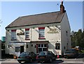
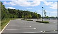
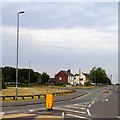
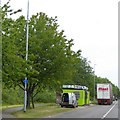
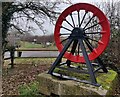
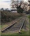

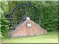
23 photos from this area
Area Information
Key information about the LE67 3TL including its size, population, and administrative classification.
- Area Type
- Postcode
- Area Size
- 5.7 hectares
- Population
- 1419
- Population Density
- 1071 people/km²
House Prices in LE67 3TL
28
Properties
£113,472
Average Sold Price
£14,000
Lowest Price
£235,000
Highest Price
Showing 28 properties
| Address | Type | Beds | Baths | Last Sale Price | Last Sale Date | |
|---|---|---|---|---|---|---|
| 286 Thornborough Road, Coalville, LE67 3TL | Terraced | 2 | 1 | £175,000 | Mar 2025 | |
| 302 Thornborough Road, Coalville, LE67 3TL | Terraced | 2 | 1 | £145,000 | Feb 2022 | |
| 284 Thornborough Road, Coalville, LE67 3TL | house | - | - | £115,000 | Sep 2021 | |
| 256 Thornborough Road, Coalville, LE67 3TL | house | - | - | £235,000 | Jun 2021 | |
| 304 Thornborough Road, Coalville, LE67 3TL | Terraced | 2 | 1 | £120,000 | Jan 2021 | |
| 292A Thornborough Road, Coalville, LE67 3TL | Detached | 3 | 2 | £185,000 | Sep 2019 | |
| 306 Thornborough Road, Coalville, LE67 3TL | Terraced | 2 | 1 | £116,000 | May 2019 | |
| 294 Thornborough Road, Coalville, LE67 3TL | house | - | - | £111,000 | Oct 2018 | |
| 308 Thornborough Road, Coalville, LE67 3TL | house | 2 | 1 | £107,950 | Aug 2018 | |
| 292 Thornborough Road, Coalville, LE67 3TL | Terraced | 3 | 2 | £124,995 | Dec 2017 |
Page 1 of 3
Energy Efficiency in LE67 3TL
Amenities
Schools
| Rank | School | Type | Entry gender | Ages |
|---|
Explore more schools in this area
Go to Schools tabDemographics
Household Size
Two person
most common
Accommodation Type
Houses
most common
Tenure
81
majority
Ethnic Group
White
most common
Religion
N/A
most common
Household Composition
N/A
most common
Age
47
median
Adults (30-64 years)
most common
Household Deprivation
N/A
with no deprivation
NS-SEC
28
in Lower managerial occupations
Explore more demographic insights in this area
Go to Demographics tabPlanning
Planning Constraints
- Flood RiskPremium
- Ramsar Wetland SitesPremium
- Area of Outstanding Natural BeautyPremium
- Protected Nature ReservePremium
- Protected WoodlandPremium