Area Overview for LE67 3PJ
Photos of LE67 3PJ
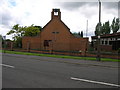
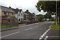
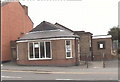
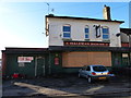
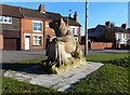
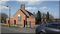
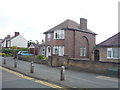
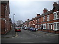
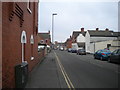
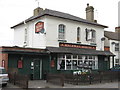
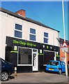
15 photos from this area
Area Information
Key information about the LE67 3PJ including its size, population, and administrative classification.
- Area Type
- Postcode
- Area Size
- 7606 m²
- Population
- 1930
- Population Density
- 6423 people/km²
House Prices in LE67 3PJ
44
Properties
£84,555
Average Sold Price
£16,000
Lowest Price
£185,650
Highest Price
Showing 44 properties
| Address | Type | Beds | Baths | Last Sale Price | Last Sale Date | |
|---|---|---|---|---|---|---|
| 157 Belvoir Road, Coalville, LE67 3PJ | Terraced | 2 | 1 | £92,500 | Sep 2024 | |
| 137 Belvoir Road, Coalville, LE67 3PJ | Terraced | 5 | 1 | £185,650 | Jan 2024 | |
| 187 Belvoir Road, Coalville, LE67 3PJ | Terraced | 3 | 1 | £127,000 | Oct 2023 | |
| 165 Belvoir Road, Coalville, LE67 3PJ | house | - | - | £118,000 | Dec 2021 | |
| 139 Belvoir Road, Coalville, LE67 3PJ | house | - | - | £160,000 | Jun 2021 | |
| 191 Belvoir Road, Coalville, LE67 3PJ | house | - | - | £95,000 | May 2021 | |
| 131 Belvoir Road, Coalville, LE67 3PJ | Terraced | 3 | 1 | £93,000 | Aug 2020 | |
| 185 Belvoir Road, Coalville, LE67 3PJ | Terraced | 3 | 1 | £95,000 | Jul 2020 | |
| 189 Belvoir Road, Coalville, LE67 3PJ | Terraced | 3 | 1 | £87,000 | Apr 2017 | |
| 177 Belvoir Road, Coalville, LE67 3PJ | Terraced | 2 | - | £100,500 | Jul 2016 |
Page 1 of 5
Energy Efficiency in LE67 3PJ
Amenities
Schools
| Rank | School | Type | Entry gender | Ages |
|---|
Explore more schools in this area
Go to Schools tabDemographics
Household Size
One person
most common
Accommodation Type
Houses
most common
Tenure
55
majority
Ethnic Group
White
most common
Religion
N/A
most common
Household Composition
N/A
most common
Age
47
median
Adults (30-64 years)
most common
Household Deprivation
N/A
with no deprivation
NS-SEC
20
in Lower managerial occupations
Explore more demographic insights in this area
Go to Demographics tabPlanning
Planning Constraints
- Flood RiskPremium
- Ramsar Wetland SitesPremium
- Area of Outstanding Natural BeautyPremium
- Protected Nature ReservePremium
- Protected WoodlandPremium