Area Overview for LE67 2QJ
Photos of LE67 2QJ
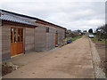

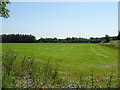
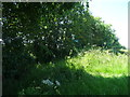
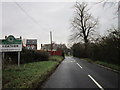
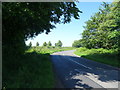
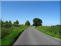
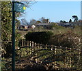
13 photos from this area
Area Information
Key information about the LE67 2QJ including its size, population, and administrative classification.
- Area Type
- Postcode
- Area Size
- 1.2 km²
- Population
- 1988
- Population Density
- 376 people/km²
House Prices in LE67 2QJ
30
Properties
£232,056
Average Sold Price
£115,000
Lowest Price
£500,000
Highest Price
Showing 30 properties
| Address | Type | Beds | Baths | Last Sale Price | Last Sale Date | |
|---|---|---|---|---|---|---|
| 26 Ravenstone Road, Heather, LE67 2QJ | Terraced | 3 | 1 | £196,000 | Sep 2024 | |
| 5 Ravenstone Road, Heather, LE67 2QJ | Semi-detached | 2 | 1 | £250,000 | Apr 2023 | |
| 17 Ravenstone Road, Heather, LE67 2QJ | house | - | - | £275,000 | Jun 2021 | |
| 21 Ravenstone Road, Heather, LE67 2QJ | Bungalow | - | - | £275,000 | Feb 2021 | |
| 32 Ravenstone Road, Heather, LE67 2QJ | Semi-detached | 4 | 1 | £210,000 | Aug 2020 | |
| 15 Ravenstone Road, Heather, LE67 2QJ | house | - | - | £500,000 | Dec 2019 | |
| 12 Ravenstone Road, Heather, LE67 2QJ | Semi-detached | 3 | 2 | £125,000 | Jan 2014 | |
| 3 Ravenstone Road, Heather, LE67 2QJ | house | - | - | £142,500 | Jun 2013 | |
| 4 Ravenstone Road, Heather, LE67 2QJ | storage_distribution | - | - | £115,000 | Jul 2010 | |
| 30 Ravenstone Road, Heather, LE67 2QJ | Detached | 4 | 1 | - | - |
Page 1 of 3
Energy Efficiency in LE67 2QJ
Amenities
Schools
| Rank | School | Type | Entry gender | Ages |
|---|
Explore more schools in this area
Go to Schools tabDemographics
Household Size
Two person
most common
Accommodation Type
Houses
most common
Tenure
83
majority
Ethnic Group
White
most common
Religion
N/A
most common
Household Composition
N/A
most common
Age
47
median
Adults (30-64 years)
most common
Household Deprivation
N/A
with no deprivation
NS-SEC
35
in Lower managerial occupations
Explore more demographic insights in this area
Go to Demographics tabPlanning
Planning Constraints
- Flood RiskPremium
- Ramsar Wetland SitesPremium
- Area of Outstanding Natural BeautyPremium
- Protected Nature ReservePremium
- Protected WoodlandPremium