Area Overview for LE67 2FE
Photos of LE67 2FE
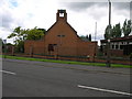
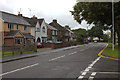
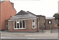
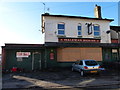
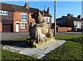
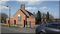
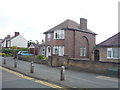
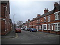
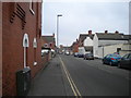
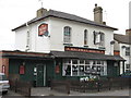

15 photos from this area
Area Information
Key information about the LE67 2FE including its size, population, and administrative classification.
- Area Type
- Postcode
- Area Size
- 4494 m²
- Population
- 1930
- Population Density
- 6423 people/km²
House Prices in LE67 2FE
16
Properties
£122,495
Average Sold Price
£39,000
Lowest Price
£219,950
Highest Price
Showing 16 properties
| Address | Type | Beds | Baths | Last Sale Price | Last Sale Date | |
|---|---|---|---|---|---|---|
| 82 Central Road, Hugglescote, LE67 2FE | Terraced | 1 | 1 | £141,000 | Aug 2019 | |
| 94 Central Road, Hugglescote, LE67 2FE | Terraced | 3 | 1 | £112,500 | Sep 2018 | |
| 96 Central Road, Hugglescote, LE67 2FE | house | 3 | - | £100,000 | Jan 2017 | |
| 74 Central Road, Hugglescote, LE67 2FE | house | 4 | - | £219,950 | Mar 2016 | |
| 86 Central Road, Hugglescote, LE67 2FE | Terraced | 3 | 1 | £100,000 | Jul 2015 | |
| 72 Central Road, Hugglescote, LE67 2FE | Semi-detached | 4 | 2 | £195,000 | Jan 2008 | |
| 80 Central Road, Hugglescote, LE67 2FE | Terraced | - | - | £113,500 | Nov 2007 | |
| 98 Central Road, Hugglescote, LE67 2FE | Terraced | - | - | £124,000 | Sep 2006 | |
| 92 Central Road, Hugglescote, LE67 2FE | house | - | - | £80,000 | Mar 2000 | |
| 84 Central Road, Hugglescote, LE67 2FE | house | - | - | £39,000 | Sep 1995 |
Page 1 of 2
Energy Efficiency in LE67 2FE
Amenities
Schools
| Rank | School | Type | Entry gender | Ages |
|---|
Explore more schools in this area
Go to Schools tabDemographics
Household Size
One person
most common
Accommodation Type
Houses
most common
Tenure
55
majority
Ethnic Group
White
most common
Religion
N/A
most common
Household Composition
N/A
most common
Age
47
median
Adults (30-64 years)
most common
Household Deprivation
N/A
with no deprivation
NS-SEC
20
in Lower managerial occupations
Explore more demographic insights in this area
Go to Demographics tabPlanning
Planning Constraints
- Flood RiskPremium
- Ramsar Wetland SitesPremium
- Area of Outstanding Natural BeautyPremium
- Protected Nature ReservePremium
- Protected WoodlandPremium