Area Overview for LE67 1TD
Photos of LE67 1TD
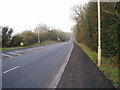
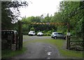
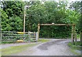
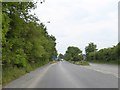
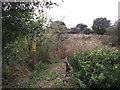
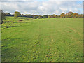
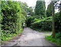
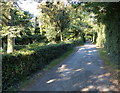
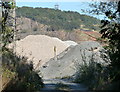
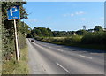
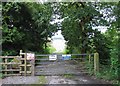
11 photos from this area
Area Information
Key information about the LE67 1TD including its size, population, and administrative classification.
- Area Type
- Postcode
- Area Size
- 1.3 km²
- Population
- 1579
- Population Density
- 299 people/km²
House Prices in LE67 1TD
10
Properties
£457,000
Average Sold Price
£46,000
Lowest Price
£850,000
Highest Price
Showing 10 properties
| Address | Type | Beds | Baths | Last Sale Price | Last Sale Date | |
|---|---|---|---|---|---|---|
| Bardon House, Bardon Road, Coalville, LE67 1TD | Detached | 11 | 3 | £850,000 | Sep 2018 | |
| Forest House, Bardon Road, Coalville, LE67 1TD | house | 6 | 2 | £475,000 | Mar 2009 | |
| Forest Lodge, Bardon Road, Coalville, LE67 1TD | Detached | - | - | £46,000 | Jun 1995 | |
| Station Cottage, Bardon Road, Coalville, LE67 1TD | Detached | 6 | 4 | - | - | |
| The Lodge, Bardon Road, Coalville, LE67 1TD | Bungalow | 1 | 1 | - | - | |
| Old Hall Cottage, Bardon Road, Coalville, LE67 1TD | house | - | - | - | - | |
| The Vicarage, Bardon Road, Coalville, LE67 1TD | Detached | 5 | 1 | - | - | |
| Brookside House, Bardon Road, Coalville, LE67 1TD | house | - | - | - | - | |
| 1, Woodside Cottages, Bardon Road, Coalville, LE67 1TD | Semi-detached | 3 | - | - | - | |
| 2, Woodside Cottages, Bardon Road, Coalville, LE67 1TD | Semi-detached | 3 | - | - | - |
Energy Efficiency in LE67 1TD
Amenities
Schools
| Rank | School | Type | Entry gender | Ages |
|---|
Explore more schools in this area
Go to Schools tabDemographics
Household Size
Family (3-5 people)
most common
Accommodation Type
Houses
most common
Tenure
65
majority
Ethnic Group
White
most common
Religion
N/A
most common
Household Composition
N/A
most common
Age
47
median
Adults (30-64 years)
most common
Household Deprivation
N/A
with no deprivation
NS-SEC
31
in Lower managerial occupations
Explore more demographic insights in this area
Go to Demographics tabPlanning
Planning Constraints
- Flood RiskPremium
- Ramsar Wetland SitesPremium
- Area of Outstanding Natural BeautyPremium
- Protected Nature ReservePremium
- Protected WoodlandPremium