Area Overview for LE67 1EW
Photos of LE67 1EW
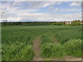
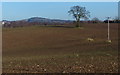
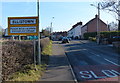
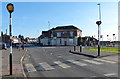
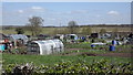
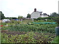
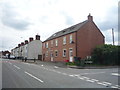
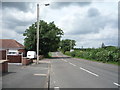
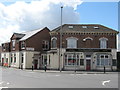
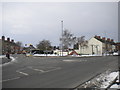
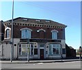
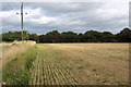
13 photos from this area
Area Information
Key information about the LE67 1EW including its size, population, and administrative classification.
- Area Type
- Postcode
- Area Size
- 3.1 hectares
- Population
- 1202
- Population Density
- 555 people/km²
House Prices in LE67 1EW
26
Properties
£174,403
Average Sold Price
£55,500
Lowest Price
£275,000
Highest Price
Showing 26 properties
| Address | Type | Beds | Baths | Last Sale Price | Last Sale Date | |
|---|---|---|---|---|---|---|
| 34 Sherwood Close, Ellistown, LE67 1EW | Detached | 3 | 2 | £265,000 | Nov 2025 | |
| 10 Sherwood Close, Ellistown, LE67 1EW | Bungalow | 3 | 1 | £275,000 | Sep 2025 | |
| 9 Sherwood Close, Ellistown, LE67 1EW | Bungalow | 3 | 1 | £270,000 | Mar 2023 | |
| 12 Sherwood Close, Ellistown, LE67 1EW | Bungalow | - | - | £245,000 | Jun 2021 | |
| 1A Sherwood Close, Ellistown, LE67 1EW | Bungalow | 3 | 2 | £190,000 | Dec 2017 | |
| 32 Sherwood Close, Ellistown, LE67 1EW | Detached | 4 | 2 | £199,950 | Dec 2017 | |
| 6 Sherwood Close, Ellistown, LE67 1EW | Bungalow | 3 | - | £190,000 | Jun 2017 | |
| 20 Sherwood Close, Ellistown, LE67 1EW | Detached | 5 | 2 | £210,000 | Oct 2016 | |
| 14 Sherwood Close, Ellistown, LE67 1EW | Bungalow | 3 | - | £220,000 | Nov 2015 | |
| 36 Sherwood Close, Ellistown, LE67 1EW | house | - | - | £160,000 | Mar 2014 |
Page 1 of 3
Energy Efficiency in LE67 1EW
Amenities
Schools
| Rank | School | Type | Entry gender | Ages |
|---|
Explore more schools in this area
Go to Schools tabDemographics
Household Size
Two person
most common
Accommodation Type
Houses
most common
Tenure
73
majority
Ethnic Group
White
most common
Religion
N/A
most common
Household Composition
N/A
most common
Age
47
median
Adults (30-64 years)
most common
Household Deprivation
N/A
with no deprivation
NS-SEC
30
in Lower managerial occupations
Explore more demographic insights in this area
Go to Demographics tabPlanning
Planning Constraints
- Flood RiskPremium
- Ramsar Wetland SitesPremium
- Area of Outstanding Natural BeautyPremium
- Protected Nature ReservePremium
- Protected WoodlandPremium