Area Overview for LE65 2NU
Photos of LE65 2NU
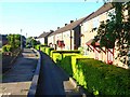
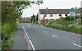
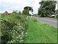

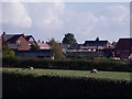
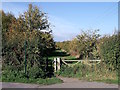
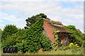
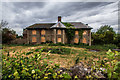
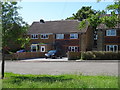
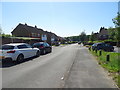
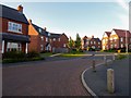
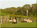
19 photos from this area
Area Information
Key information about the LE65 2NU including its size, population, and administrative classification.
- Area Type
- Postcode
- Area Size
- 2.7 hectares
- Population
- 2022
- Population Density
- 332 people/km²
House Prices in LE65 2NU
50
Properties
£205,315
Average Sold Price
£55,500
Lowest Price
£350,000
Highest Price
Showing 50 properties
| Address | Type | Beds | Baths | Last Sale Price | Last Sale Date | |
|---|---|---|---|---|---|---|
| 148 Woodside, Ashby De La Zouch, LE65 2NU | Detached | 3 | 1 | £320,000 | Jul 2025 | |
| 146 Woodside, Ashby De La Zouch, LE65 2NU | Bungalow | - | - | £350,000 | Jul 2024 | |
| 102 Woodside, Ashby De La Zouch, LE65 2NU | Semi-detached | 3 | 1 | £302,500 | Jun 2024 | |
| 77 Woodside, Ashby De La Zouch, LE65 2NU | house | - | - | £240,000 | Aug 2023 | |
| 138 Woodside, Ashby De La Zouch, LE65 2NU | Bungalow | - | - | £320,000 | Jun 2023 | |
| 114 Woodside, Ashby De La Zouch, LE65 2NU | house | - | - | £345,000 | Jan 2023 | |
| 89 Woodside, Ashby De La Zouch, LE65 2NU | house | 4 | - | £250,000 | Jul 2021 | |
| 142 Woodside, Ashby De La Zouch, LE65 2NU | Bungalow | - | - | £246,000 | Jun 2021 | |
| 63 Woodside, Ashby De La Zouch, LE65 2NU | Bungalow | 3 | 1 | £189,500 | Feb 2020 | |
| 99 Woodside, Ashby De La Zouch, LE65 2NU | Detached | 4 | 2 | £310,000 | Oct 2019 |
Page 1 of 5
Energy Efficiency in LE65 2NU
Amenities
Schools
| Rank | School | Type | Entry gender | Ages |
|---|
Explore more schools in this area
Go to Schools tabDemographics
Household Size
Two person
most common
Accommodation Type
Houses
most common
Tenure
73
majority
Ethnic Group
White
most common
Religion
N/A
most common
Household Composition
N/A
most common
Age
47
median
Adults (30-64 years)
most common
Household Deprivation
N/A
with no deprivation
NS-SEC
44
in Lower managerial occupations
Explore more demographic insights in this area
Go to Demographics tabPlanning
Planning Constraints
- Flood RiskPremium
- Ramsar Wetland SitesPremium
- Area of Outstanding Natural BeautyPremium
- Protected Nature ReservePremium
- Protected WoodlandPremium