Area Overview for LE65 2LR
Photos of LE65 2LR
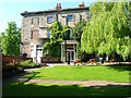

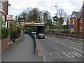

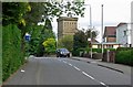
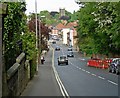


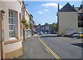


100 photos from this area
Area Information
Key information about the LE65 2LR including its size, population, and administrative classification.
- Area Type
- Postcode
- Area Size
- 2.8 hectares
- Population
- 1983
- Population Density
- 1909 people/km²
House Prices in LE65 2LR
43
Properties
£296,406
Average Sold Price
£75,000
Lowest Price
£620,000
Highest Price
Showing 43 properties
| Address | Type | Beds | Baths | Last Sale Price | Last Sale Date | |
|---|---|---|---|---|---|---|
| 3 Churchill Close, Ashby De La Zouch, LE65 2LR | Bungalow | - | - | £399,950 | Jul 2025 | |
| 9 Churchill Close, Ashby De La Zouch, LE65 2LR | Bungalow | - | - | £330,000 | Feb 2024 | |
| 28 Churchill Close, Ashby De La Zouch, LE65 2LR | Detached | 5 | 3 | £610,000 | Jun 2023 | |
| 46 Churchill Close, Ashby De La Zouch, LE65 2LR | house | 4 | - | £405,000 | Sep 2022 | |
| 34 Churchill Close, Ashby De La Zouch, LE65 2LR | house | - | - | £620,000 | Aug 2022 | |
| 5 Churchill Close, Ashby De La Zouch, LE65 2LR | Bungalow | - | - | £355,555 | Nov 2021 | |
| 36 Churchill Close, Ashby De La Zouch, LE65 2LR | house | 4 | - | £485,000 | Aug 2021 | |
| 7 Churchill Close, Ashby De La Zouch, LE65 2LR | Bungalow | - | - | £325,000 | Jun 2021 | |
| 15 Churchill Close, Ashby De La Zouch, LE65 2LR | Bungalow | 3 | 2 | £410,000 | Jan 2021 | |
| 33 Churchill Close, Ashby De La Zouch, LE65 2LR | Bungalow | 2 | 1 | £272,000 | Aug 2020 |
Page 1 of 5
Energy Efficiency in LE65 2LR
Amenities
Schools
| Rank | School | Type | Entry gender | Ages |
|---|
Explore more schools in this area
Go to Schools tabDemographics
Household Size
Family (3-5 people)
most common
Accommodation Type
Houses
most common
Tenure
67
majority
Ethnic Group
White
most common
Religion
N/A
most common
Household Composition
N/A
most common
Age
47
median
Adults (30-64 years)
most common
Household Deprivation
N/A
with no deprivation
NS-SEC
37
in Lower managerial occupations
Explore more demographic insights in this area
Go to Demographics tabPlanning
Planning Constraints
- Flood RiskPremium
- Ramsar Wetland SitesPremium
- Area of Outstanding Natural BeautyPremium
- Protected Nature ReservePremium
- Protected WoodlandPremium