Area Overview for LE6 0XZ
Photos of LE6 0XZ
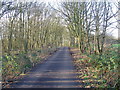
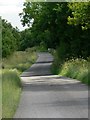
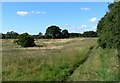
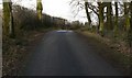
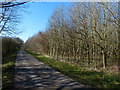
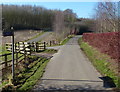
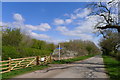
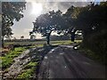
28 photos from this area
Area Information
Key information about the LE6 0XZ including its size, population, and administrative classification.
- Area Type
- Postcode
- Area Size
- 56.9 hectares
- Population
- 1701
- Population Density
- 544 people/km²
House Prices in LE6 0XZ
5
Properties
£853,333
Average Sold Price
£485,000
Lowest Price
£1,350,000
Highest Price
Showing 5 properties
| Address | Type | Beds | Baths | Last Sale Price | Last Sale Date | |
|---|---|---|---|---|---|---|
| Thrashing Barn, Burroughs Road, Ratby, LE6 0XZ | house | - | - | £725,000 | Aug 2021 | |
| Badgers Barn Old Hayes Farm, Burroughs Road, Ratby, LE6 0XZ | Detached | 2 | 1 | £1,350,000 | Aug 2019 | |
| The Byre, Burroughs Road, Ratby, LE6 0XZ | house | - | - | £485,000 | Jun 2006 | |
| Gatehouse To Old Hayes Farm, Burroughs Road, Ratby, LE6 0XZ | Office | - | - | - | - | |
| The Plough Inn, Burroughs Road, Ratby, LE6 0XZ | restaurant_cafe | - | - | - | - |
Energy Efficiency in LE6 0XZ
Amenities
Schools
| Rank | School | Type | Entry gender | Ages |
|---|
Explore more schools in this area
Go to Schools tabDemographics
Household Size
Two person
most common
Accommodation Type
Houses
most common
Tenure
75
majority
Ethnic Group
White
most common
Religion
N/A
most common
Household Composition
N/A
most common
Age
47
median
Adults (30-64 years)
most common
Household Deprivation
N/A
with no deprivation
NS-SEC
35
in Lower managerial occupations
Explore more demographic insights in this area
Go to Demographics tabPlanning
Planning Constraints
- Flood RiskPremium
- Ramsar Wetland SitesPremium
- Area of Outstanding Natural BeautyPremium
- Protected Nature ReservePremium
- Protected WoodlandPremium