Area Overview for LE6 0LP
Photos of LE6 0LP
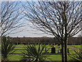
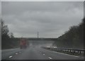
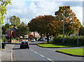
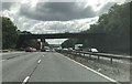
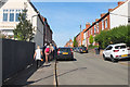
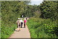
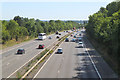
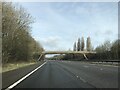
41 photos from this area
Area Information
Key information about the LE6 0LP including its size, population, and administrative classification.
- Area Type
- Postcode
- Area Size
- 2.0 hectares
- Population
- 1204
- Population Density
- 270 people/km²
House Prices in LE6 0LP
37
Properties
£171,325
Average Sold Price
£13,828
Lowest Price
£357,500
Highest Price
Showing 37 properties
| Address | Type | Beds | Baths | Last Sale Price | Last Sale Date | |
|---|---|---|---|---|---|---|
| 86 Markfield Road, Ratby, LE6 0LP | Bungalow | 3 | 1 | £357,500 | Mar 2025 | |
| 8 Markfield Road, Ratby, LE6 0LP | Semi-detached | 3 | 1 | £335,000 | Feb 2025 | |
| 66 Markfield Road, Ratby, LE6 0LP | Semi-detached | 2 | - | £250,000 | Oct 2022 | |
| 38 Markfield Road, Ratby, LE6 0LP | house | - | - | £151,500 | Nov 2015 | |
| 44 Markfield Road, Ratby, LE6 0LP | Semi-detached | 3 | 1 | £162,950 | Oct 2015 | |
| 24 Markfield Road, Ratby, LE6 0LP | Semi-detached | 3 | - | £142,500 | Sep 2012 | |
| 72 Markfield Road, Ratby, LE6 0LP | house | - | - | £180,000 | Oct 2010 | |
| 6 Markfield Road, Ratby, LE6 0LP | Semi-detached | - | - | £80,000 | Jan 2010 | |
| 32 Markfield Road, Ratby, LE6 0LP | Semi-detached | - | - | £150,000 | Nov 2008 | |
| 82 Markfield Road, Ratby, LE6 0LP | Detached | - | - | £310,000 | Jan 2005 |
Page 1 of 4
Energy Efficiency in LE6 0LP
Amenities
Schools
| Rank | School | Type | Entry gender | Ages |
|---|
Explore more schools in this area
Go to Schools tabDemographics
Household Size
Two person
most common
Accommodation Type
Houses
most common
Tenure
62
majority
Ethnic Group
White
most common
Religion
N/A
most common
Household Composition
N/A
most common
Age
47
median
Adults (30-64 years)
most common
Household Deprivation
N/A
with no deprivation
NS-SEC
26
in Lower managerial occupations
Explore more demographic insights in this area
Go to Demographics tabPlanning
Planning Constraints
- Flood RiskPremium
- Ramsar Wetland SitesPremium
- Area of Outstanding Natural BeautyPremium
- Protected Nature ReservePremium
- Protected WoodlandPremium